Area Overview for HX5 0JA
Photos of HX5 0JA
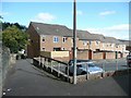
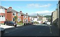
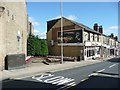
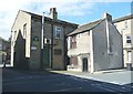
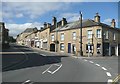
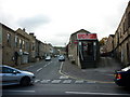
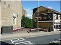
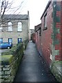
100 photos from this area
Area Information
Key information about the HX5 0JA including its size, population, and administrative classification.
- Area Type
- Postcode
- Area Size
- 4939 m²
- Population
- 1821
- Population Density
- 2237 people/km²
House Prices in HX5 0JA
29
Properties
£83,682
Average Sold Price
£32,500
Lowest Price
£127,000
Highest Price
Showing 29 properties
| Address | Type | Beds | Baths | Last Sale Price | Last Sale Date | |
|---|---|---|---|---|---|---|
| 25 Catherine Crescent, Elland, HX5 0JA | house | - | - | £115,000 | Dec 2024 | |
| 20 Catherine Crescent, Elland, HX5 0JA | Detached | 2 | 1 | £127,000 | Jan 2024 | |
| 31 Catherine Crescent, Elland, HX5 0JA | Terraced | 2 | 1 | £90,000 | Dec 2023 | |
| 27 Catherine Crescent, Elland, HX5 0JA | Terraced | 2 | 1 | £126,000 | Jan 2022 | |
| 5 Catherine Crescent, Elland, HX5 0JA | house | - | - | £88,000 | Feb 2019 | |
| 10 Catherine Crescent, Elland, HX5 0JA | Semi-detached | 3 | 1 | £115,000 | Nov 2018 | |
| 3 Catherine Crescent, Elland, HX5 0JA | house | - | - | £75,000 | Sep 2018 | |
| 17 Catherine Crescent, Elland, HX5 0JA | house | 2 | - | £80,000 | Apr 2017 | |
| 9 Catherine Crescent, Elland, HX5 0JA | house | 2 | 1 | £77,500 | Dec 2015 | |
| 16 Catherine Crescent, Elland, HX5 0JA | Semi-detached | 2 | 1 | £87,500 | Nov 2015 |
Page 1 of 3
Energy Efficiency in HX5 0JA
Amenities
Schools
| Rank | School | Type | Entry gender | Ages |
|---|
Explore more schools in this area
Go to Schools tabDemographics
Household Size
One person
most common
Accommodation Type
Houses
most common
Tenure
50
majority
Ethnic Group
White
most common
Religion
N/A
most common
Household Composition
N/A
most common
Age
47
median
Adults (30-64 years)
most common
Household Deprivation
N/A
with no deprivation
NS-SEC
21
in Lower managerial occupations
Explore more demographic insights in this area
Go to Demographics tabPlanning
Planning Constraints
- Flood RiskPremium
- Ramsar Wetland SitesPremium
- Area of Outstanding Natural BeautyPremium
- Protected Nature ReservePremium
- Protected WoodlandPremium