Area Overview for HX4 0DE
Photos of HX4 0DE
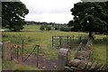
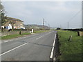
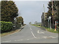
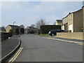
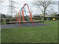
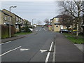
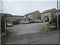
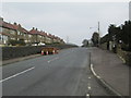
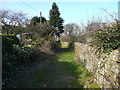
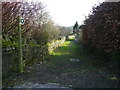
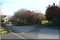
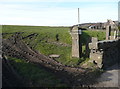
68 photos from this area
Area Information
Key information about the HX4 0DE including its size, population, and administrative classification.
- Area Type
- Postcode
- Area Size
- 70.8 hectares
- Population
- 1505
- Population Density
- 244 people/km²
House Prices in HX4 0DE
67
Properties
£311,646
Average Sold Price
£80,000
Lowest Price
£786,250
Highest Price
Showing 67 properties
| Address | Type | Beds | Baths | Last Sale Price | Last Sale Date | |
|---|---|---|---|---|---|---|
| Woodlea, Rishworth Road, Barkisland, Sowerby Bridge, HX4 0DE | house | - | - | £295,000 | Oct 2024 | |
| New Highlee Farm, Highlee Lane, Ripponden, Sowerby Bridge, HX4 0DE | house | - | - | £786,250 | Feb 2024 | |
| Highroyd Barn, Greetland Road, Barkisland, Sowerby Bridge, HX4 0DE | house | - | - | £495,000 | Jul 2023 | |
| Red Brick Barn, Greetland Road, Barkisland, Sowerby Bridge, HX4 0DE | house | - | - | £400,000 | Feb 2023 | |
| Highroyd House, Greetland Road, Barkisland, Sowerby Bridge, HX4 0DE | Semi-detached | 3 | - | £125,000 | Sep 2019 | |
| Pinfold Rise, Scammonden Road, Barkisland, Sowerby Bridge, HX4 0DE | house | - | - | £90,000 | May 2018 | |
| Heald House, Scammonden Road, Barkisland, Sowerby Bridge, HX4 0DE | Detached | 4 | - | £460,000 | Sep 2017 | |
| Bold Hall Barn, Greetland Road, Barkisland, Sowerby Bridge, HX4 0DE | Terraced | - | - | £470,000 | Jul 2015 | |
| Woodfield House, Rishworth Road, Barkisland, Sowerby Bridge, HX4 0DE | Terraced | - | - | £198,500 | May 2006 | |
| Cliff Royd, Rishworth Road, Barkisland, Sowerby Bridge, HX4 0DE | Terraced | - | - | £225,000 | Dec 2005 |
Page 1 of 7
Energy Efficiency in HX4 0DE
Amenities
Schools
| Rank | School | Type | Entry gender | Ages |
|---|
Explore more schools in this area
Go to Schools tabDemographics
Household Size
Two person
most common
Accommodation Type
Houses
most common
Tenure
81
majority
Ethnic Group
White
most common
Religion
N/A
most common
Household Composition
N/A
most common
Age
47
median
Adults (30-64 years)
most common
Household Deprivation
N/A
with no deprivation
NS-SEC
45
in Lower managerial occupations
Explore more demographic insights in this area
Go to Demographics tabPlanning
Planning Constraints
- Flood RiskPremium
- Ramsar Wetland SitesPremium
- Area of Outstanding Natural BeautyPremium
- Protected Nature ReservePremium
- Protected WoodlandPremium