Area Overview for HX3 8UL
Photos of HX3 8UL
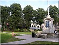
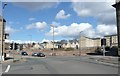
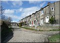
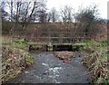
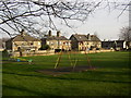
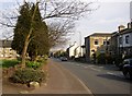
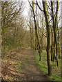
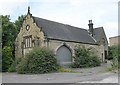
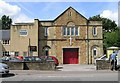
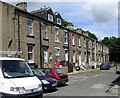
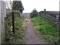
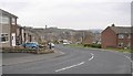
100 photos from this area
Area Information
Key information about the HX3 8UL including its size, population, and administrative classification.
- Area Type
- Postcode
- Area Size
- 7772 m²
- Population
- 1319
- Population Density
- 3364 people/km²
House Prices in HX3 8UL
28
Properties
£164,154
Average Sold Price
£38,000
Lowest Price
£470,000
Highest Price
Showing 28 properties
| Address | Type | Beds | Baths | Last Sale Price | Last Sale Date | |
|---|---|---|---|---|---|---|
| Hillcrest, 254 Smith House Lane, Lightcliffe, Brighouse, HX3 8UL | house | 3 | 2 | £395,000 | Jun 2025 | |
| Pine View, 236 Smith House Lane, Lightcliffe, Brighouse, HX3 8UL | Detached | 4 | 2 | £470,000 | May 2024 | |
| 253 Smith House Lane, Lightcliffe, Brighouse, HX3 8UL | Terraced | 2 | - | £160,460 | Jun 2023 | |
| 248 Smith House Lane, Lightcliffe, Brighouse, HX3 8UL | Semi-detached | 3 | - | £130,000 | Apr 2019 | |
| 242 Smith House Lane, Lightcliffe, Brighouse, HX3 8UL | house | - | - | £225,000 | Sep 2017 | |
| 271 Smith House Lane, Lightcliffe, Brighouse, HX3 8UL | house | - | - | £184,000 | May 2015 | |
| 263 Smith House Lane, Lightcliffe, Brighouse, HX3 8UL | house | - | - | £177,000 | Jul 2013 | |
| 246 Smith House Lane, Lightcliffe, Brighouse, HX3 8UL | house | - | - | £149,000 | Nov 2010 | |
| 255 Smith House Lane, Lightcliffe, Brighouse, HX3 8UL | Terraced | 2 | 1 | £125,000 | Sep 2008 | |
| 261 Smith House Lane, Lightcliffe, Brighouse, HX3 8UL | Terraced | - | - | £106,000 | Oct 2006 |
Page 1 of 3
Energy Efficiency in HX3 8UL
Amenities
Schools
| Rank | School | Type | Entry gender | Ages |
|---|
Explore more schools in this area
Go to Schools tabDemographics
Household Size
One person
most common
Accommodation Type
Houses
most common
Tenure
54
majority
Ethnic Group
White
most common
Religion
N/A
most common
Household Composition
N/A
most common
Age
47
median
Adults (30-64 years)
most common
Household Deprivation
N/A
with no deprivation
NS-SEC
28
in Lower managerial occupations
Explore more demographic insights in this area
Go to Demographics tabPlanning
Planning Constraints
- Flood RiskPremium
- Ramsar Wetland SitesPremium
- Area of Outstanding Natural BeautyPremium
- Protected Nature ReservePremium
- Protected WoodlandPremium