Area Overview for HX2 9LL
Photos of HX2 9LL

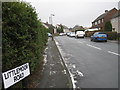

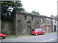
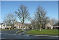
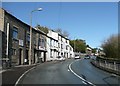
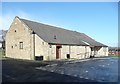
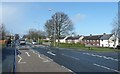
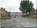
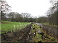
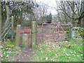

100 photos from this area
Area Information
Key information about the HX2 9LL including its size, population, and administrative classification.
- Area Type
- Postcode
- Area Size
- 2.2 hectares
- Population
- 1614
- Population Density
- 2763 people/km²
House Prices in HX2 9LL
16
Properties
£96,661
Average Sold Price
£41,500
Lowest Price
£178,000
Highest Price
Showing 16 properties
| Address | Type | Beds | Baths | Last Sale Price | Last Sale Date | |
|---|---|---|---|---|---|---|
| 181 Keighley Road, Illingworth, Halifax, HX2 9LL | Retail | 3 | 1 | £130,000 | May 2022 | |
| 163 Keighley Road, Illingworth, Halifax, HX2 9LL | house | - | - | £178,000 | Nov 2020 | |
| 161 Keighley Road, Illingworth, Halifax, HX2 9LL | Semi-detached | 3 | 2 | £112,000 | Jan 2018 | |
| 159 Keighley Road, Illingworth, Halifax, HX2 9LL | house | - | - | £135,000 | Feb 2010 | |
| 185 Keighley Road, Illingworth, Halifax, HX2 9LL | house | - | - | £119,950 | May 2008 | |
| 165 Keighley Road, Illingworth, Halifax, HX2 9LL | Semi-detached | - | - | £57,000 | Mar 2002 | |
| 179 Keighley Road, Illingworth, Halifax, HX2 9LL | Terraced | - | - | £41,500 | Jan 2001 | |
| 177 Keighley Road, Illingworth, Halifax, HX2 9LL | Terraced | - | - | £48,500 | Nov 2000 | |
| 191 Keighley Road, Illingworth, Halifax, HX2 9LL | Terraced | - | - | £48,000 | Dec 1999 | |
| St Marys Vicarage, 157 Keighley Road, Illingworth, Halifax, HX2 9LL | Detached | 6 | 1 | - | - |
Page 1 of 2
Energy Efficiency in HX2 9LL
Amenities
Schools
| Rank | School | Type | Entry gender | Ages |
|---|
Explore more schools in this area
Go to Schools tabDemographics
Household Size
Family (3-5 people)
most common
Accommodation Type
Houses
most common
Tenure
67
majority
Ethnic Group
White
most common
Religion
N/A
most common
Household Composition
N/A
most common
Age
47
median
Adults (30-64 years)
most common
Household Deprivation
N/A
with no deprivation
NS-SEC
21
in Lower managerial occupations
Explore more demographic insights in this area
Go to Demographics tabPlanning
Planning Constraints
- Flood RiskPremium
- Ramsar Wetland SitesPremium
- Area of Outstanding Natural BeautyPremium
- Protected Nature ReservePremium
- Protected WoodlandPremium