Area Overview for HX2 9HD
Photos of HX2 9HD

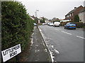

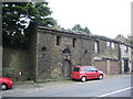
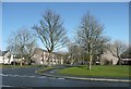
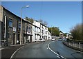
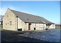
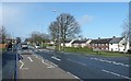
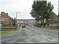
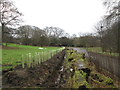
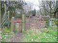

100 photos from this area
Area Information
Key information about the HX2 9HD including its size, population, and administrative classification.
- Area Type
- Postcode
- Area Size
- 9.1 hectares
- Population
- 1556
- Population Density
- 2308 people/km²
House Prices in HX2 9HD
31
Properties
£124,036
Average Sold Price
£50,000
Lowest Price
£199,000
Highest Price
Showing 31 properties
| Address | Type | Beds | Baths | Last Sale Price | Last Sale Date | |
|---|---|---|---|---|---|---|
| 3 Whitehill Road, Illingworth, Halifax, HX2 9HD | Terraced | 2 | 1 | £115,000 | Apr 2024 | |
| Chulm Lea, Whitehill Road, Illingworth, Halifax, HX2 9HD | Bungalow | - | - | £160,000 | Dec 2019 | |
| 34 Whitehill Road, Illingworth, Halifax, HX2 9HD | house | - | - | £115,000 | Apr 2016 | |
| 36 Whitehill Road, Illingworth, Halifax, HX2 9HD | Semi-detached | 4 | - | £199,000 | Apr 2015 | |
| 26 Whitehill Road, Illingworth, Halifax, HX2 9HD | house | - | - | £165,000 | Nov 2009 | |
| 13 Whitehill Road, Illingworth, Halifax, HX2 9HD | house | - | - | £67,000 | Aug 2009 | |
| 16 Whitehill Road, Illingworth, Halifax, HX2 9HD | Detached | - | - | £140,000 | Oct 2008 | |
| 9 Whitehill Road, Illingworth, Halifax, HX2 9HD | house | - | - | £114,000 | Dec 2006 | |
| Windcott, Whitehill Road, Illingworth, Halifax, HX2 9HD | Semi-detached | 2 | 1 | £127,500 | Dec 2004 | |
| 22 Whitehill Road, Illingworth, Halifax, HX2 9HD | Semi-detached | - | - | £100,000 | Apr 2004 |
Page 1 of 4
Energy Efficiency in HX2 9HD
Amenities
Schools
| Rank | School | Type | Entry gender | Ages |
|---|
Explore more schools in this area
Go to Schools tabDemographics
Household Size
Family (3-5 people)
most common
Accommodation Type
Houses
most common
Tenure
49
majority
Ethnic Group
White
most common
Religion
N/A
most common
Household Composition
N/A
most common
Age
47
median
Adults (30-64 years)
most common
Household Deprivation
N/A
with no deprivation
NS-SEC
19
in Lower managerial occupations
Explore more demographic insights in this area
Go to Demographics tabPlanning
Planning Constraints
- Flood RiskPremium
- Ramsar Wetland SitesPremium
- Area of Outstanding Natural BeautyPremium
- Protected Nature ReservePremium
- Protected WoodlandPremium