Area Overview for HX2 0TF
Photos of HX2 0TF
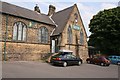
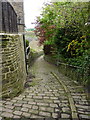
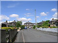
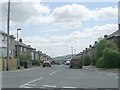
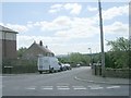
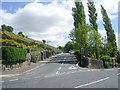
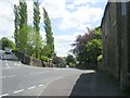
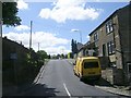
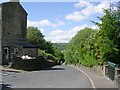
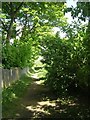
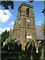
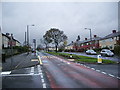
100 photos from this area
Area Information
Key information about the HX2 0TF including its size, population, and administrative classification.
- Area Type
- Postcode
- Area Size
- 1.3 hectares
- Population
- 2729
- Population Density
- 6327 people/km²
House Prices in HX2 0TF
16
Properties
£109,996
Average Sold Price
£73,000
Lowest Price
£160,000
Highest Price
Showing 16 properties
| Address | Type | Beds | Baths | Last Sale Price | Last Sale Date | |
|---|---|---|---|---|---|---|
| 7, Hebble Gardens, Brackenbed Lane, Pellon, Halifax, HX2 0TF | Terraced | 2 | 1 | £122,000 | Jan 2025 | |
| 4, Hebble Gardens, Brackenbed Lane, Pellon, Halifax, HX2 0TF | house | 3 | 1 | £149,950 | Oct 2024 | |
| 11, Hebble Gardens, Brackenbed Lane, Pellon, Halifax, HX2 0TF | house | 3 | 1 | £160,000 | Nov 2022 | |
| 15, Hebble Gardens, Brackenbed Lane, Pellon, Halifax, HX2 0TF | Terraced | 2 | 1 | £133,000 | Aug 2022 | |
| 6, Hebble Gardens, Brackenbed Lane, Pellon, Halifax, HX2 0TF | house | - | - | £106,500 | Mar 2022 | |
| 5, Hebble Gardens, Brackenbed Lane, Pellon, Halifax, HX2 0TF | house | - | - | £118,500 | Dec 2020 | |
| 3, Hebble Gardens, Brackenbed Lane, Pellon, Halifax, HX2 0TF | Terraced | 2 | - | £115,000 | Nov 2020 | |
| 2, Hebble Gardens, Brackenbed Lane, Pellon, Halifax, HX2 0TF | Terraced | 3 | 1 | £88,000 | Nov 2019 | |
| 8, Hebble Gardens, Brackenbed Lane, Pellon, Halifax, HX2 0TF | Terraced | 2 | 1 | £110,000 | Sep 2019 | |
| 14, Hebble Gardens, Brackenbed Lane, Pellon, Halifax, HX2 0TF | Terraced | 2 | 1 | £85,000 | Sep 2018 |
Page 1 of 2
Energy Efficiency in HX2 0TF
Amenities
Schools
| Rank | School | Type | Entry gender | Ages |
|---|
Explore more schools in this area
Go to Schools tabDemographics
Household Size
Family (3-5 people)
most common
Accommodation Type
Houses
most common
Tenure
58
majority
Ethnic Group
asian_total
most common
Religion
N/A
most common
Household Composition
N/A
most common
Age
22
median
Adults (30-64 years)
most common
Household Deprivation
N/A
with no deprivation
NS-SEC
17
in Lower managerial occupations
Explore more demographic insights in this area
Go to Demographics tabPlanning
Planning Constraints
- Flood RiskPremium
- Ramsar Wetland SitesPremium
- Area of Outstanding Natural BeautyPremium
- Protected Nature ReservePremium
- Protected WoodlandPremium