Area Overview for HX1 4HD
Photos of HX1 4HD
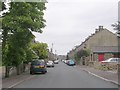
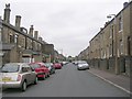
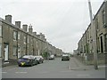
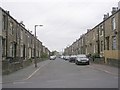
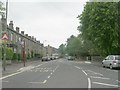
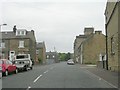
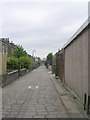
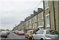
100 photos from this area
Area Information
Key information about the HX1 4HD including its size, population, and administrative classification.
- Area Type
- Postcode
- Area Size
- 6339 m²
- Population
- 2413
- Population Density
- 7842 people/km²
House Prices in HX1 4HD
20
Properties
£95,000
Average Sold Price
£48,500
Lowest Price
£151,000
Highest Price
Showing 20 properties
| Address | Type | Beds | Baths | Last Sale Price | Last Sale Date | |
|---|---|---|---|---|---|---|
| 300A Hopwood Lane, Halifax, HX1 4HD | house | 3 | 1 | £106,500 | Mar 2020 | |
| 308 Hopwood Lane, Halifax, HX1 4HD | house | - | - | £110,000 | Jun 2011 | |
| 306 Hopwood Lane, Halifax, HX1 4HD | house | - | - | £100,000 | Jun 2010 | |
| 302 Hopwood Lane, Halifax, HX1 4HD | house | - | - | £100,000 | May 2007 | |
| 336 Hopwood Lane, Halifax, HX1 4HD | house | - | - | £151,000 | Mar 2006 | |
| 332 Hopwood Lane, Halifax, HX1 4HD | house | - | - | £49,000 | Oct 1999 | |
| 304 Hopwood Lane, Halifax, HX1 4HD | house | - | - | £48,500 | Jan 1995 | |
| 4, Peace Place, Hopwood Lane, Halifax, HX1 4HD | Bungalow | - | - | - | - | |
| 7, Peace Place, Hopwood Lane, Halifax, HX1 4HD | house | - | - | - | - | |
| 2, Peace Place, Hopwood Lane, Halifax, HX1 4HD | house | - | - | - | - |
Page 1 of 2
Energy Efficiency in HX1 4HD
Amenities
Schools
| Rank | School | Type | Entry gender | Ages |
|---|
Explore more schools in this area
Go to Schools tabDemographics
Household Size
Family (3-5 people)
most common
Accommodation Type
Houses
most common
Tenure
63
majority
Ethnic Group
asian_total
most common
Religion
N/A
most common
Household Composition
N/A
most common
Age
22
median
Adults (30-64 years)
most common
Household Deprivation
N/A
with no deprivation
NS-SEC
13
in Lower managerial occupations
Explore more demographic insights in this area
Go to Demographics tabPlanning
Planning Constraints
- Flood RiskPremium
- Ramsar Wetland SitesPremium
- Area of Outstanding Natural BeautyPremium
- Protected Nature ReservePremium
- Protected WoodlandPremium