Area Overview for HU9 3HE
Photos of HU9 3HE
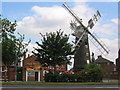
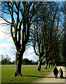
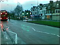
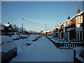
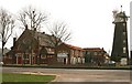

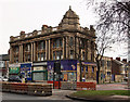
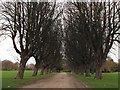

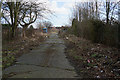

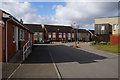
100 photos from this area
Area Information
Key information about the HU9 3HE including its size, population, and administrative classification.
- Area Type
- Postcode
- Area Size
- 4610 m²
- Population
- 1497
- Population Density
- 8216 people/km²
House Prices in HU9 3HE
14
Properties
£101,064
Average Sold Price
£62,950
Lowest Price
£138,000
Highest Price
Showing 14 properties
| Address | Type | Beds | Baths | Last Sale Price | Last Sale Date | |
|---|---|---|---|---|---|---|
| 128 Southcoates Avenue, Kingston Upon Hull, HU9 3HE | Terraced | 3 | 1 | £87,500 | May 2025 | |
| 116 Southcoates Avenue, Kingston Upon Hull, HU9 3HE | Terraced | 3 | 1 | £138,000 | Sep 2023 | |
| 120 Southcoates Avenue, Kingston Upon Hull, HU9 3HE | Terraced | 3 | 1 | £137,000 | Mar 2020 | |
| 126 Southcoates Avenue, Kingston Upon Hull, HU9 3HE | Terraced | - | - | £117,500 | May 2008 | |
| 114 Southcoates Avenue, Kingston Upon Hull, HU9 3HE | Terraced | - | - | £94,500 | Jul 2006 | |
| 108 Southcoates Avenue, Kingston Upon Hull, HU9 3HE | Terraced | - | - | £62,950 | Aug 2003 | |
| 130 Southcoates Avenue, Kingston Upon Hull, HU9 3HE | Terraced | - | - | £70,000 | May 2003 | |
| 134 Southcoates Avenue, Kingston Upon Hull, HU9 3HE | Bungalow | - | - | - | - | |
| 132 Southcoates Avenue, Kingston Upon Hull, HU9 3HE | Bungalow | - | - | - | - | |
| 112 Southcoates Avenue, Kingston Upon Hull, HU9 3HE | Terraced | - | - | - | - |
Page 1 of 2
Energy Efficiency in HU9 3HE
Amenities
Schools
| Rank | School | Type | Entry gender | Ages |
|---|
Explore more schools in this area
Go to Schools tabDemographics
Household Size
Two person
most common
Accommodation Type
Houses
most common
Tenure
73
majority
Ethnic Group
White
most common
Religion
N/A
most common
Household Composition
N/A
most common
Age
47
median
Adults (30-64 years)
most common
Household Deprivation
N/A
with no deprivation
NS-SEC
19
in Lower managerial occupations
Explore more demographic insights in this area
Go to Demographics tabPlanning
Planning Constraints
- Flood RiskPremium
- Ramsar Wetland SitesPremium
- Area of Outstanding Natural BeautyPremium
- Protected Nature ReservePremium
- Protected WoodlandPremium