Area Overview for HU9 2LB
Photos of HU9 2LB
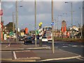
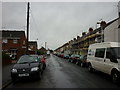
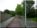
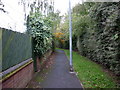

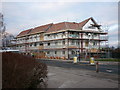
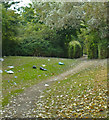
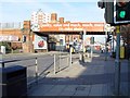

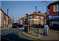

100 photos from this area
Area Information
Key information about the HU9 2LB including its size, population, and administrative classification.
- Area Type
- Postcode
- Area Size
- 8525 m²
- Population
- 1386
- Population Density
- 7245 people/km²
House Prices in HU9 2LB
38
Properties
£87,103
Average Sold Price
£20,000
Lowest Price
£245,000
Highest Price
Showing 38 properties
| Address | Type | Beds | Baths | Last Sale Price | Last Sale Date | |
|---|---|---|---|---|---|---|
| 54 Sherburn Street, Kingston Upon Hull, HU9 2LB | house | - | - | £82,000 | Apr 2023 | |
| 43 Sherburn Street, Kingston Upon Hull, HU9 2LB | Terraced | 3 | - | £150,000 | Mar 2023 | |
| 68 Sherburn Street, Kingston Upon Hull, HU9 2LB | Terraced | 4 | 1 | £245,000 | Mar 2022 | |
| 56 Sherburn Street, Kingston Upon Hull, HU9 2LB | house | 3 | 1 | £112,000 | Feb 2022 | |
| 58 Sherburn Street, Kingston Upon Hull, HU9 2LB | Terraced | 3 | 1 | £125,000 | Feb 2022 | |
| 64 Sherburn Street, Kingston Upon Hull, HU9 2LB | house | - | - | £117,500 | Jul 2021 | |
| 40 Sherburn Street, Kingston Upon Hull, HU9 2LB | Terraced | 1 | 1 | £95,000 | Sep 2018 | |
| 72 Sherburn Street, Kingston Upon Hull, HU9 2LB | Terraced | 3 | 1 | £89,000 | Mar 2018 | |
| 67 Sherburn Street, Kingston Upon Hull, HU9 2LB | Terraced | 3 | - | £92,000 | Jun 2016 | |
| 71 Sherburn Street, Kingston Upon Hull, HU9 2LB | Terraced | 4 | - | £74,950 | Sep 2014 |
Page 1 of 4
Energy Efficiency in HU9 2LB
Amenities
Schools
| Rank | School | Type | Entry gender | Ages |
|---|
Explore more schools in this area
Go to Schools tabDemographics
Household Size
One person
most common
Accommodation Type
Houses
most common
Tenure
36
majority
Ethnic Group
White
most common
Religion
N/A
most common
Household Composition
N/A
most common
Age
47
median
Adults (30-64 years)
most common
Household Deprivation
N/A
with no deprivation
NS-SEC
12
in Lower managerial occupations
Explore more demographic insights in this area
Go to Demographics tabPlanning
Planning Constraints
- Flood RiskPremium
- Ramsar Wetland SitesPremium
- Area of Outstanding Natural BeautyPremium
- Protected Nature ReservePremium
- Protected WoodlandPremium