Area Overview for HU9 1PT
Photos of HU9 1PT
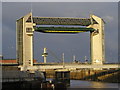
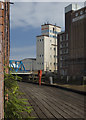
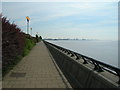
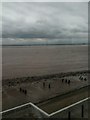
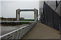
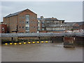
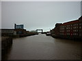

100 photos from this area
Area Information
Key information about the HU9 1PT including its size, population, and administrative classification.
- Area Type
- Postcode
- Area Size
- 7168 m²
- Population
- 1574
- Population Density
- 2857 people/km²
House Prices in HU9 1PT
17
Properties
£149,871
Average Sold Price
£66,000
Lowest Price
£280,000
Highest Price
Showing 17 properties
| Address | Type | Beds | Baths | Last Sale Price | Last Sale Date | |
|---|---|---|---|---|---|---|
| 8 Isis Court, Kingston Upon Hull, HU9 1PT | Bungalow | 2 | 1 | £200,000 | Feb 2025 | |
| 4 Isis Court, Kingston Upon Hull, HU9 1PT | Bungalow | - | - | £280,000 | Apr 2024 | |
| 16 Isis Court, Kingston Upon Hull, HU9 1PT | Detached | 3 | 2 | £245,000 | Aug 2023 | |
| 6 Isis Court, Kingston Upon Hull, HU9 1PT | Detached | 4 | 1 | £275,000 | Dec 2019 | |
| 9 Isis Court, Kingston Upon Hull, HU9 1PT | Bungalow | - | - | £127,000 | Nov 2017 | |
| 7 Isis Court, Kingston Upon Hull, HU9 1PT | Detached | - | - | £165,000 | Apr 2016 | |
| 10 Isis Court, Kingston Upon Hull, HU9 1PT | Bungalow | - | - | £124,999 | Jan 2014 | |
| 18 Isis Court, Kingston Upon Hull, HU9 1PT | house | - | - | £81,950 | Mar 2003 | |
| 12 Isis Court, Kingston Upon Hull, HU9 1PT | Semi-detached | - | - | £78,000 | Jun 2002 | |
| 14 Isis Court, Kingston Upon Hull, HU9 1PT | Detached | - | - | £66,000 | Oct 2001 |
Page 1 of 2
Energy Efficiency in HU9 1PT
Amenities
Schools
| Rank | School | Type | Entry gender | Ages |
|---|
Explore more schools in this area
Go to Schools tabDemographics
Household Size
One person
most common
Accommodation Type
Houses
most common
Tenure
50
majority
Ethnic Group
White
most common
Religion
N/A
most common
Household Composition
N/A
most common
Age
47
median
Adults (30-64 years)
most common
Household Deprivation
N/A
with no deprivation
NS-SEC
45
in Lower managerial occupations
Explore more demographic insights in this area
Go to Demographics tabPlanning
Planning Constraints
- Flood RiskPremium
- Ramsar Wetland SitesPremium
- Area of Outstanding Natural BeautyPremium
- Protected Nature ReservePremium
- Protected WoodlandPremium