Area Overview for HU8 9PD
Photos of HU8 9PD
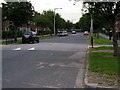
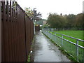
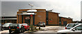
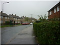
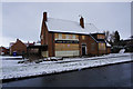
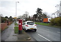
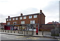
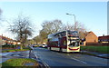
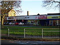
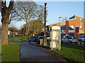
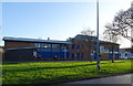
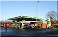
100 photos from this area
Area Information
Key information about the HU8 9PD including its size, population, and administrative classification.
- Area Type
- Postcode
- Area Size
- 1.4 hectares
- Population
- 1518
- Population Density
- 6354 people/km²
House Prices in HU8 9PD
14
Properties
£38,500
Average Sold Price
£30,000
Lowest Price
£47,000
Highest Price
Showing 14 properties
| Address | Type | Beds | Baths | Last Sale Price | Last Sale Date | |
|---|---|---|---|---|---|---|
| 106 Shannon Road, Kingston Upon Hull, HU8 9PD | Flat | 2 | 1 | £30,000 | Sep 2014 | |
| 108 Shannon Road, Kingston Upon Hull, HU8 9PD | Flat | - | - | £47,000 | Jul 2004 | |
| Maggies Cafe, St Margarets Welcome Centre, 150 Shannon Road, Kingston Upon Hull, HU8 9PD | Restaurant | - | - | - | - | |
| Martin Mccoll, 84-86 Shannon Road, Kingston Upon Hull, HU8 9PD | shop | - | - | - | - | |
| 98 Shannon Road, Kingston Upon Hull, HU8 9PD | Flat | - | - | - | - | |
| 90 Shannon Road, Kingston Upon Hull, HU8 9PD | Flat | - | - | - | - | |
| 120 Shannon Road, Kingston Upon Hull, HU8 9PD | Flat | - | - | - | - | |
| 100 Shannon Road, Kingston Upon Hull, HU8 9PD | Flat | - | - | - | - | |
| 136 Shannon Road, Kingston Upon Hull, HU8 9PD | Flat | - | - | - | - | |
| 118 Shannon Road, Kingston Upon Hull, HU8 9PD | Flat | - | - | - | - |
Page 1 of 2
Energy Efficiency in HU8 9PD
Amenities
Schools
| Rank | School | Type | Entry gender | Ages |
|---|
Explore more schools in this area
Go to Schools tabDemographics
Household Size
Family (3-5 people)
most common
Accommodation Type
Houses
most common
Tenure
37
majority
Ethnic Group
White
most common
Religion
N/A
most common
Household Composition
N/A
most common
Age
47
median
Adults (30-64 years)
most common
Household Deprivation
N/A
with no deprivation
NS-SEC
12
in Lower managerial occupations
Explore more demographic insights in this area
Go to Demographics tabPlanning
Planning Constraints
- Flood RiskPremium
- Ramsar Wetland SitesPremium
- Area of Outstanding Natural BeautyPremium
- Protected Nature ReservePremium
- Protected WoodlandPremium