Area Overview for HU8 8PY
Photos of HU8 8PY
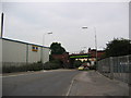
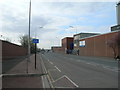
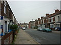
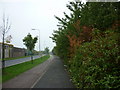
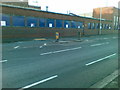
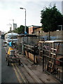
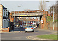
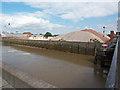
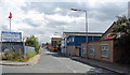
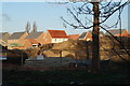
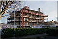
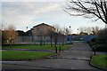
100 photos from this area
Area Information
Key information about the HU8 8PY including its size, population, and administrative classification.
- Area Type
- Postcode
- Area Size
- 7983 m²
- Population
- 1698
- Population Density
- 3759 people/km²
House Prices in HU8 8PY
22
Properties
£114,388
Average Sold Price
£35,000
Lowest Price
£280,000
Highest Price
Showing 22 properties
| Address | Type | Beds | Baths | Last Sale Price | Last Sale Date | |
|---|---|---|---|---|---|---|
| 63 Lilac Avenue, Kingston Upon Hull, HU8 8PY | Detached | 3 | 1 | £280,000 | Jun 2024 | |
| 92 Lilac Avenue, Kingston Upon Hull, HU8 8PY | Terraced | 2 | 1 | £165,500 | Dec 2023 | |
| 68 Lilac Avenue, Kingston Upon Hull, HU8 8PY | Terraced | 2 | 1 | £141,500 | Feb 2022 | |
| 61 Lilac Avenue, Kingston Upon Hull, HU8 8PY | Semi-detached | 2 | 1 | £157,000 | Aug 2018 | |
| 78 Lilac Avenue, Kingston Upon Hull, HU8 8PY | Terraced | 3 | 1 | £130,000 | Feb 2018 | |
| 70 Lilac Avenue, Kingston Upon Hull, HU8 8PY | Terraced | 3 | 1 | £85,250 | Jul 2015 | |
| 76 Lilac Avenue, Kingston Upon Hull, HU8 8PY | house | - | - | £69,000 | May 2011 | |
| 66 Lilac Avenue, Kingston Upon Hull, HU8 8PY | Terraced | 3 | 1 | £100,000 | Jan 2009 | |
| 74 Lilac Avenue, Kingston Upon Hull, HU8 8PY | Terraced | - | - | £125,000 | Sep 2008 | |
| 94 Lilac Avenue, Kingston Upon Hull, HU8 8PY | Semi-detached | 4 | 1 | £163,000 | Sep 2007 |
Page 1 of 3
Energy Efficiency in HU8 8PY
Amenities
Schools
| Rank | School | Type | Entry gender | Ages |
|---|
Explore more schools in this area
Go to Schools tabDemographics
Household Size
Two person
most common
Accommodation Type
Houses
most common
Tenure
79
majority
Ethnic Group
White
most common
Religion
N/A
most common
Household Composition
N/A
most common
Age
47
median
Adults (30-64 years)
most common
Household Deprivation
N/A
with no deprivation
NS-SEC
26
in Lower managerial occupations
Explore more demographic insights in this area
Go to Demographics tabPlanning
Planning Constraints
- Flood RiskPremium
- Ramsar Wetland SitesPremium
- Area of Outstanding Natural BeautyPremium
- Protected Nature ReservePremium
- Protected WoodlandPremium