Area Overview for HU8 8LF
Photos of HU8 8LF
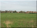
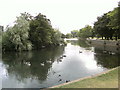

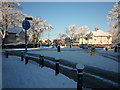
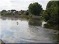
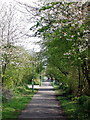
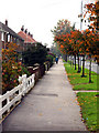
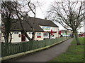


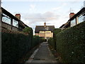
100 photos from this area
Area Information
Key information about the HU8 8LF including its size, population, and administrative classification.
- Area Type
- Postcode
- Area Size
- 6877 m²
- Population
- 1390
- Population Density
- 6854 people/km²
House Prices in HU8 8LF
20
Properties
£96,158
Average Sold Price
£33,950
Lowest Price
£155,000
Highest Price
Showing 20 properties
| Address | Type | Beds | Baths | Last Sale Price | Last Sale Date | |
|---|---|---|---|---|---|---|
| 218 James Reckitt Avenue, Kingston Upon Hull, HU8 8LF | Terraced | 3 | 1 | £145,000 | Jul 2025 | |
| 224 James Reckitt Avenue, Kingston Upon Hull, HU8 8LF | house | - | - | £117,000 | Aug 2020 | |
| 238 James Reckitt Avenue, Kingston Upon Hull, HU8 8LF | Terraced | 3 | 1 | £155,000 | Aug 2019 | |
| 220 James Reckitt Avenue, Kingston Upon Hull, HU8 8LF | Terraced | 3 | 1 | £155,000 | Nov 2018 | |
| 208 James Reckitt Avenue, Kingston Upon Hull, HU8 8LF | Semi-detached | 3 | 1 | £108,000 | May 2018 | |
| 212 James Reckitt Avenue, Kingston Upon Hull, HU8 8LF | Semi-detached | 3 | - | £100,000 | Oct 2017 | |
| 210 James Reckitt Avenue, Kingston Upon Hull, HU8 8LF | house | - | - | £80,000 | Feb 2009 | |
| 236 James Reckitt Avenue, Kingston Upon Hull, HU8 8LF | Terraced | - | - | £94,000 | Jun 2006 | |
| 234 James Reckitt Avenue, Kingston Upon Hull, HU8 8LF | Terraced | - | - | £79,950 | Mar 2005 | |
| 204 James Reckitt Avenue, Kingston Upon Hull, HU8 8LF | Semi-detached | - | - | £43,000 | Sep 2002 |
Page 1 of 2
Energy Efficiency in HU8 8LF
Amenities
Schools
| Rank | School | Type | Entry gender | Ages |
|---|
Explore more schools in this area
Go to Schools tabDemographics
Household Size
Two person
most common
Accommodation Type
Houses
most common
Tenure
73
majority
Ethnic Group
White
most common
Religion
N/A
most common
Household Composition
N/A
most common
Age
47
median
Adults (30-64 years)
most common
Household Deprivation
N/A
with no deprivation
NS-SEC
24
in Lower managerial occupations
Explore more demographic insights in this area
Go to Demographics tabPlanning
Planning Constraints
- Flood RiskPremium
- Ramsar Wetland SitesPremium
- Area of Outstanding Natural BeautyPremium
- Protected Nature ReservePremium
- Protected WoodlandPremium