Area Overview for HU8 0LY
Photos of HU8 0LY
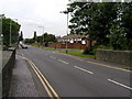
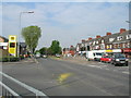
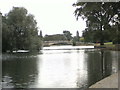
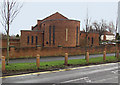
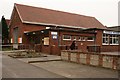
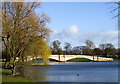
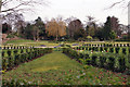


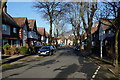
100 photos from this area
Area Information
Key information about the HU8 0LY including its size, population, and administrative classification.
- Area Type
- Postcode
- Area Size
- 8123 m²
- Population
- 1330
- Population Density
- 163732 people/km²
House Prices in HU8 0LY
6
Properties
£133,700
Average Sold Price
£58,000
Lowest Price
£196,500
Highest Price
Showing 6 properties
| Address | Type | Beds | Baths | Last Sale Price | Last Sale Date | |
|---|---|---|---|---|---|---|
| 163 Ings Road, Kingston Upon Hull, HU8 0LY | house | - | - | £196,500 | Sep 2021 | |
| 165 Ings Road, Kingston Upon Hull, HU8 0LY | Semi-detached | 3 | 1 | £154,000 | Jul 2015 | |
| 159 Ings Road, Kingston Upon Hull, HU8 0LY | Semi-detached | - | - | £135,000 | Jul 2013 | |
| 167 Ings Road, Kingston Upon Hull, HU8 0LY | Semi-detached | 3 | 1 | £125,000 | Jul 2010 | |
| 157 Ings Road, Kingston Upon Hull, HU8 0LY | house | - | - | £58,000 | Mar 2001 | |
| 161 Ings Road, Kingston Upon Hull, HU8 0LY | Semi-detached | - | - | - | - |
Energy Efficiency in HU8 0LY
Amenities
Schools
| Rank | School | Type | Entry gender | Ages |
|---|
Explore more schools in this area
Go to Schools tabDemographics
Household Size
Family (3-5 people)
most common
Accommodation Type
Houses
most common
Tenure
93
majority
Ethnic Group
White
most common
Religion
N/A
most common
Household Composition
N/A
most common
Age
47
median
Adults (30-64 years)
most common
Household Deprivation
N/A
with no deprivation
NS-SEC
30
in Lower managerial occupations
Explore more demographic insights in this area
Go to Demographics tabPlanning
Planning Constraints
- Flood RiskPremium
- Ramsar Wetland SitesPremium
- Area of Outstanding Natural BeautyPremium
- Protected Nature ReservePremium
- Protected WoodlandPremium