Area Overview for HU7 4WH
Photos of HU7 4WH
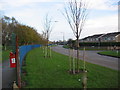
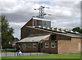
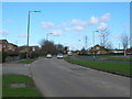
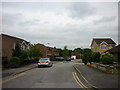
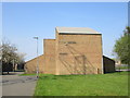
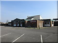
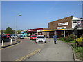
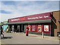
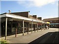
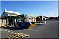
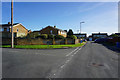
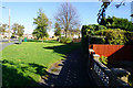
66 photos from this area
Area Information
Key information about the HU7 4WH including its size, population, and administrative classification.
- Area Type
- Postcode
- Area Size
- 1.2 hectares
- Population
- 1678
- Population Density
- 4746 people/km²
House Prices in HU7 4WH
35
Properties
£165,064
Average Sold Price
£103,000
Lowest Price
£225,000
Highest Price
Showing 35 properties
| Address | Type | Beds | Baths | Last Sale Price | Last Sale Date | |
|---|---|---|---|---|---|---|
| 9 The Willows, Kingston Upon Hull, HU7 4WH | Detached | 3 | 2 | £190,000 | Jul 2024 | |
| 26 The Willows, Kingston Upon Hull, HU7 4WH | Terraced | 3 | 2 | £193,000 | May 2024 | |
| 31 The Willows, Kingston Upon Hull, HU7 4WH | Detached | 3 | 3 | £146,000 | Jan 2024 | |
| 35 The Willows, Kingston Upon Hull, HU7 4WH | Terraced | 3 | 3 | £147,000 | Sep 2023 | |
| 33 THE WILLOWS, Kingston upon Hull, HU7 4WH | Terraced | 3 | 3 | £143,000 | Aug 2021 | |
| 17 The Willows, Kingston Upon Hull, HU7 4WH | house | 3 | - | £150,000 | Aug 2021 | |
| 32 The Willows, Kingston Upon Hull, HU7 4WH | Terraced | 4 | 3 | £155,000 | Jul 2020 | |
| 1 The Willows, Kingston Upon Hull, HU7 4WH | Semi-detached | 3 | 3 | £225,000 | Jun 2020 | |
| 37 The Willows, Kingston Upon Hull, HU7 4WH | house | 3 | - | £103,000 | Jan 2018 | |
| 12 The Willows, Kingston Upon Hull, HU7 4WH | Terraced | 3 | 2 | £122,000 | Aug 2017 |
Page 1 of 4
Energy Efficiency in HU7 4WH
Amenities
Schools
| Rank | School | Type | Entry gender | Ages |
|---|
Explore more schools in this area
Go to Schools tabDemographics
Household Size
Two person
most common
Accommodation Type
Houses
most common
Tenure
87
majority
Ethnic Group
White
most common
Religion
N/A
most common
Household Composition
N/A
most common
Age
47
median
Adults (30-64 years)
most common
Household Deprivation
N/A
with no deprivation
NS-SEC
24
in Lower managerial occupations
Explore more demographic insights in this area
Go to Demographics tabPlanning
Planning Constraints
- Flood RiskPremium
- Ramsar Wetland SitesPremium
- Area of Outstanding Natural BeautyPremium
- Protected Nature ReservePremium
- Protected WoodlandPremium