Area Overview for HU7 4TB
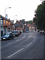
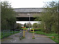
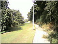
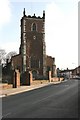
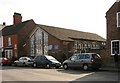
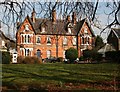
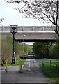
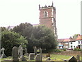
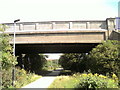
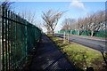
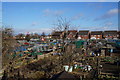
Photos of HU7 4TB

Area Information
Living in HU7 4TB offers a quiet, residential lifestyle with a small population of 1241 people. This postcode area is a compact cluster of homes, primarily occupied by adults aged 30–64, reflecting a stable, middle-aged community. The area’s modest size means it feels intimate, with daily life centred around local amenities and transport links. Residents benefit from proximity to Hull’s ferry terminal, which connects to nearby towns and cities, and three nearby railway stations—Hull, Cottingham, and New Holland—offering easy access to commuting routes. The area’s digital connectivity is excellent, with a broadband score of 100, ensuring reliable internet for work or leisure. While HU7 4TB lacks large-scale commercial hubs, its small-scale charm and practical infrastructure make it suitable for those prioritising convenience over urban vibrancy. The low flood risk and absence of environmental constraints further enhance its appeal for families or retirees seeking a settled environment.
- Area Type
- Postcode
- Area Size
- Not available
- Population
- 1241
- Population Density
- 4561 people/km²
The property market in HU7 4TB is defined by a high rate of home ownership (68%) and a focus on houses rather than flats or apartments. This indicates a predominantly owner-occupied area, likely attracting buyers seeking family-friendly homes in a settled environment. The limited population and small area size mean the housing stock is modest, with fewer properties available compared to larger urban centres. For buyers, this could mean a competitive market with limited new developments, but the existing homes are likely to be well-maintained. The absence of rental-focused properties suggests the area is not a hotspot for investors or tenants, making it more appealing to those prioritising long-term residency. Proximity to rail and ferry links may also influence property values, offering practical connectivity for commuters.
House Prices in HU7 4TB
No properties found in this postcode.
Energy Efficiency in HU7 4TB
Daily life in HU7 4TB is supported by a range of nearby amenities within practical reach. The area includes five retail outlets, such as Sainsburys Ings, Farmfoods Bransholme, and Morrisons Select, ensuring access to grocery shopping and everyday essentials. The Hull Ferry Terminal provides a direct link to the city, facilitating travel for work, leisure, or socialising. Three railway stations—Hull, Cottingham, and New Holland—offer additional transport options, connecting residents to broader networks. While the area lacks large entertainment venues or parks, the presence of these services suggests a functional lifestyle focused on convenience rather than luxury. The mix of retail, transport, and connectivity makes HU7 4TB suitable for those valuing practicality over sprawling amenities.
Amenities
Schools
| Rank | School | Type | Entry gender | Ages |
|---|
Explore more schools in this area
Go to Schools tabDemographics
The community in HU7 4TB is predominantly composed of adults aged 30–64, with a median age of 47. This suggests a population skewed towards middle-aged and older residents, likely with established careers and family ties. Home ownership is high at 68%, indicating a stable, long-term resident base. The area is characterised by houses rather than flats, reflecting a traditional, suburban housing stock. The predominant ethnic group is White, though the data does not specify further diversity metrics. With no mention of deprivation or socioeconomic breakdown, the area appears to cater to a relatively homogeneous demographic. The age profile suggests a mix of professionals and retirees, potentially creating a balanced community with shared interests in local amenities and infrastructure.
Household Size
Accommodation Type
Tenure
Ethnic Group
Religion
Household Composition
Age
Household Deprivation
NS-SEC
Explore more demographic insights in this area
Go to Demographics tabPlanning
Planning Constraints
- Flood RiskPremium
- Ramsar Wetland SitesPremium
- Area of Outstanding Natural BeautyPremium
- Protected Nature ReservePremium
- Protected WoodlandPremium