Area Overview for HU6 7LD
Photos of HU6 7LD
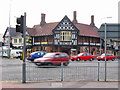
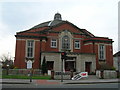
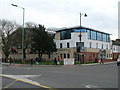
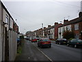
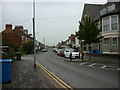
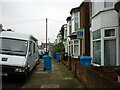
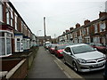
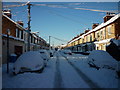

100 photos from this area
Area Information
Key information about the HU6 7LD including its size, population, and administrative classification.
- Area Type
- Postcode
- Area Size
- 3568 m²
- Population
- 3294
- Population Density
- 4638 people/km²
House Prices in HU6 7LD
11
Properties
£92,688
Average Sold Price
£68,000
Lowest Price
£118,000
Highest Price
Showing 11 properties
| Address | Type | Beds | Baths | Last Sale Price | Last Sale Date | |
|---|---|---|---|---|---|---|
| 457 Beverley Road, Kingston Upon Hull, HU6 7LD | Terraced | 3 | - | £99,000 | Jun 2022 | |
| 463 Beverley Road, Kingston Upon Hull, HU6 7LD | Terraced | 5 | 1 | £118,000 | Apr 2022 | |
| 465 Beverley Road, Kingston Upon Hull, HU6 7LD | house | - | - | £78,000 | Dec 2021 | |
| 455 Beverley Road, Kingston Upon Hull, HU6 7LD | house | 3 | - | £100,000 | Dec 2018 | |
| 453 Beverley Road, Kingston Upon Hull, HU6 7LD | Terraced | 4 | 1 | £93,125 | Sep 2015 | |
| 461 Beverley Road, Kingston Upon Hull, HU6 7LD | house | 1 | - | £68,000 | Dec 2011 | |
| Flat, 471 Beverley Road, Kingston Upon Hull, HU6 7LD | Flat | 3 | 1 | - | - | |
| Flat, Haworth Arms, 449 Beverley Road, Kingston Upon Hull, HU6 7LD | Office | - | - | - | - | |
| 467 Beverley Road, Kingston Upon Hull, HU6 7LD | Terraced | - | - | - | - | |
| 469 Beverley Road, Kingston Upon Hull, HU6 7LD | Terraced | - | - | - | - |
Page 1 of 2
Energy Efficiency in HU6 7LD
Amenities
Schools
| Rank | School | Type | Entry gender | Ages |
|---|
Explore more schools in this area
Go to Schools tabDemographics
Household Size
Family (3-5 people)
most common
Accommodation Type
Houses
most common
Tenure
17
majority
Ethnic Group
White
most common
Religion
N/A
most common
Household Composition
N/A
most common
Age
22
median
Young Adults (15-29 years)
most common
Household Deprivation
N/A
with no deprivation
NS-SEC
4
in Lower managerial occupations
Explore more demographic insights in this area
Go to Demographics tabPlanning
Planning Constraints
- Flood RiskPremium
- Ramsar Wetland SitesPremium
- Area of Outstanding Natural BeautyPremium
- Protected Nature ReservePremium
- Protected WoodlandPremium