Area Overview for HU6 0AW
Photos of HU6 0AW
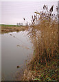
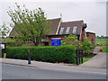
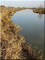
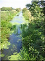
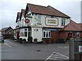
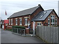
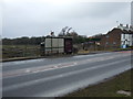
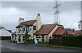
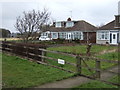
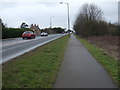
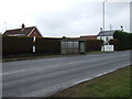
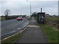
63 photos from this area
Area Information
Key information about the HU6 0AW including its size, population, and administrative classification.
- Area Type
- Postcode
- Area Size
- 9.1 hectares
- Population
- 1316
- Population Density
- 255 people/km²
House Prices in HU6 0AW
7
Properties
£192,000
Average Sold Price
£83,000
Lowest Price
£375,000
Highest Price
Showing 7 properties
| Address | Type | Beds | Baths | Last Sale Price | Last Sale Date | |
|---|---|---|---|---|---|---|
| Wynfield, Beverley Road, Dunswell, HU6 0AW | Semi-detached | 3 | 1 | £185,000 | Jul 2023 | |
| Sunkist, Beverley Road, Dunswell, HU6 0AW | house | - | - | £125,000 | May 2021 | |
| Skidby Ings Cottage, Beverley Road, Dunswell, HU6 0AW | house | 4 | - | £375,000 | Aug 2015 | |
| Thornfield, Beverley Road, Dunswell, HU6 0AW | Semi-detached | - | - | £83,000 | Aug 2002 | |
| The Bungalow, Skidby Ings Farm, Beverley Road, Dunswell, HU6 0AW | Bungalow | 3 | 1 | - | - | |
| Silverthorne, Beverley Road, Dunswell, HU6 0AW | Semi-detached | - | - | - | - | |
| Frank Hill And Son (auctioneers And Valuers) Limited, Hull Livestock Market Limited, Skidby Ings Farm, Beverley Road, Dunswell, HU6 0AW | commercial | - | - | - | - |
Energy Efficiency in HU6 0AW
Amenities
Schools
| Rank | School | Type | Entry gender | Ages |
|---|
Explore more schools in this area
Go to Schools tabDemographics
Household Size
Two person
most common
Accommodation Type
Houses
most common
Tenure
87
majority
Ethnic Group
White
most common
Religion
N/A
most common
Household Composition
N/A
most common
Age
47
median
Adults (30-64 years)
most common
Household Deprivation
N/A
with no deprivation
NS-SEC
38
in Lower managerial occupations
Explore more demographic insights in this area
Go to Demographics tabPlanning
Planning Constraints
- Flood RiskPremium
- Ramsar Wetland SitesPremium
- Area of Outstanding Natural BeautyPremium
- Protected Nature ReservePremium
- Protected WoodlandPremium