Area Overview for HU5 5JN
Photos of HU5 5JN
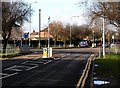


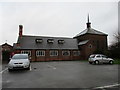
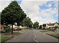
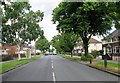
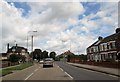

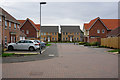
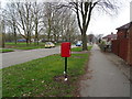
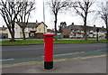
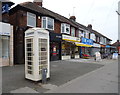
100 photos from this area
Area Information
Key information about the HU5 5JN including its size, population, and administrative classification.
- Area Type
- Postcode
- Area Size
- 1.4 hectares
- Population
- 1622
- Population Density
- 4730 people/km²
House Prices in HU5 5JN
31
Properties
£121,155
Average Sold Price
£34,000
Lowest Price
£215,550
Highest Price
Showing 31 properties
| Address | Type | Beds | Baths | Last Sale Price | Last Sale Date | |
|---|---|---|---|---|---|---|
| 96 Willerby Road, Kingston Upon Hull, HU5 5JN | Terraced | 4 | 3 | £185,000 | Feb 2025 | |
| 142 Willerby Road, Kingston Upon Hull, HU5 5JN | Semi-detached | 3 | 1 | £210,000 | Jun 2024 | |
| 128 Willerby Road, Kingston Upon Hull, HU5 5JN | Retail | 3 | 1 | £215,550 | Oct 2022 | |
| 112 Willerby Road, Kingston Upon Hull, HU5 5JN | house | - | - | £127,000 | Feb 2022 | |
| 116 Willerby Road, Kingston Upon Hull, HU5 5JN | Terraced | 3 | 1 | £135,000 | Sep 2021 | |
| 98 Willerby Road, Kingston Upon Hull, HU5 5JN | Terraced | 5 | 2 | £191,000 | Mar 2021 | |
| 118 Willerby Road, Kingston Upon Hull, HU5 5JN | house | - | - | £155,000 | Sep 2018 | |
| 126 Willerby Road, Kingston Upon Hull, HU5 5JN | house | - | - | £181,000 | Jul 2018 | |
| 148 Willerby Road, Kingston Upon Hull, HU5 5JN | Terraced | 3 | 1 | £95,000 | Mar 2016 | |
| 138 Willerby Road, Kingston Upon Hull, HU5 5JN | house | 3 | - | £100,000 | May 2013 |
Page 1 of 4
Energy Efficiency in HU5 5JN
Amenities
Schools
| Rank | School | Type | Entry gender | Ages |
|---|
Explore more schools in this area
Go to Schools tabDemographics
Household Size
Two person
most common
Accommodation Type
Houses
most common
Tenure
55
majority
Ethnic Group
White
most common
Religion
N/A
most common
Household Composition
N/A
most common
Age
47
median
Adults (30-64 years)
most common
Household Deprivation
N/A
with no deprivation
NS-SEC
21
in Lower managerial occupations
Explore more demographic insights in this area
Go to Demographics tabPlanning
Planning Constraints
- Flood RiskPremium
- Ramsar Wetland SitesPremium
- Area of Outstanding Natural BeautyPremium
- Protected Nature ReservePremium
- Protected WoodlandPremium