Area Overview for HU5 3NU
Photos of HU5 3NU
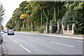
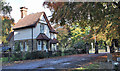
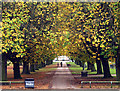
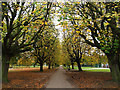

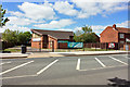
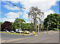
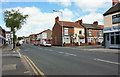
100 photos from this area
Area Information
Key information about the HU5 3NU including its size, population, and administrative classification.
- Area Type
- Postcode
- Area Size
- 3318 m²
- Population
- 1456
- Population Density
- 7320 people/km²
House Prices in HU5 3NU
24
Properties
£73,232
Average Sold Price
£16,400
Lowest Price
£128,650
Highest Price
Showing 24 properties
| Address | Type | Beds | Baths | Last Sale Price | Last Sale Date | |
|---|---|---|---|---|---|---|
| 69 Perth Street, Kingston Upon Hull, HU5 3NU | Terraced | 2 | 1 | £92,000 | Apr 2025 | |
| 75 Perth Street, Kingston Upon Hull, HU5 3NU | Terraced | 2 | 1 | £86,000 | Nov 2024 | |
| 79 Perth Street, Kingston Upon Hull, HU5 3NU | Terraced | 2 | 1 | £87,500 | Sep 2024 | |
| 95 Perth Street, Kingston Upon Hull, HU5 3NU | Terraced | 2 | 1 | £128,000 | Jun 2022 | |
| 65 Perth Street, Kingston Upon Hull, HU5 3NU | house | - | - | £128,650 | May 2022 | |
| 85 Perth Street, Kingston Upon Hull, HU5 3NU | Terraced | 2 | 1 | £60,000 | Jul 2020 | |
| 61 Perth Street, Kingston Upon Hull, HU5 3NU | Terraced | 2 | 2 | £99,000 | Apr 2018 | |
| 67 Perth Street, Kingston Upon Hull, HU5 3NU | Terraced | 2 | 1 | £74,000 | Mar 2016 | |
| 63 Perth Street, Kingston Upon Hull, HU5 3NU | house | - | - | £75,000 | Nov 2010 | |
| 81 Perth Street, Kingston Upon Hull, HU5 3NU | Terraced | 3 | 1 | £98,500 | Jun 2006 |
Page 1 of 3
Energy Efficiency in HU5 3NU
Amenities
Schools
| Rank | School | Type | Entry gender | Ages |
|---|
Explore more schools in this area
Go to Schools tabDemographics
Household Size
One person
most common
Accommodation Type
Houses
most common
Tenure
67
majority
Ethnic Group
White
most common
Religion
N/A
most common
Household Composition
N/A
most common
Age
47
median
Adults (30-64 years)
most common
Household Deprivation
N/A
with no deprivation
NS-SEC
34
in Lower managerial occupations
Explore more demographic insights in this area
Go to Demographics tabPlanning
Planning Constraints
- Flood RiskPremium
- Ramsar Wetland SitesPremium
- Area of Outstanding Natural BeautyPremium
- Protected Nature ReservePremium
- Protected WoodlandPremium