Area Overview for HU4 6DH
Photos of HU4 6DH
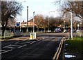

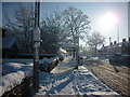
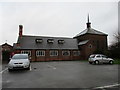
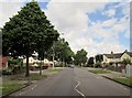
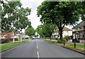
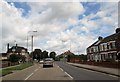
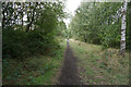
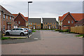
100 photos from this area
Area Information
Key information about the HU4 6DH including its size, population, and administrative classification.
- Area Type
- Postcode
- Area Size
- 3.3 hectares
- Population
- 1622
- Population Density
- 4730 people/km²
House Prices in HU4 6DH
79
Properties
£188,386
Average Sold Price
£134,995
Lowest Price
£272,000
Highest Price
Showing 79 properties
| Address | Type | Beds | Baths | Last Sale Price | Last Sale Date | |
|---|---|---|---|---|---|---|
| 85 Boundary Way, Kingston Upon Hull, HU4 6DH | Terraced | 2 | 1 | £149,500 | Aug 2023 | |
| 25 Boundary Way, Kingston Upon Hull, HU4 6DH | house | - | - | £272,000 | Mar 2023 | |
| 69 Boundary Way, Kingston Upon Hull, HU4 6DH | Terraced | 3 | - | £162,500 | Feb 2023 | |
| 39 Boundary Way, Kingston Upon Hull, HU4 6DH | Detached | 3 | 2 | £245,000 | Nov 2022 | |
| 19 Boundary Way, Kingston Upon Hull, HU4 6DH | house | - | - | £255,000 | Aug 2022 | |
| 75 Boundary Way, Kingston Upon Hull, HU4 6DH | house | - | - | £142,500 | Sep 2021 | |
| 87 Boundary Way, Kingston Upon Hull, HU4 6DH | house | - | - | £144,950 | Jun 2021 | |
| 7 Boundary Way, Kingston Upon Hull, HU4 6DH | Semi-detached | 3 | 1 | £167,000 | May 2021 | |
| 63 Boundary Way, Kingston Upon Hull, HU4 6DH | house | - | - | £225,000 | Mar 2021 | |
| 5 Boundary Way, Kingston Upon Hull, HU4 6DH | Semi-detached | 3 | 1 | £154,000 | Aug 2020 |
Page 1 of 8
Energy Efficiency in HU4 6DH
Amenities
Schools
| Rank | School | Type | Entry gender | Ages |
|---|
Explore more schools in this area
Go to Schools tabDemographics
Household Size
Two person
most common
Accommodation Type
Houses
most common
Tenure
55
majority
Ethnic Group
White
most common
Religion
N/A
most common
Household Composition
N/A
most common
Age
47
median
Adults (30-64 years)
most common
Household Deprivation
N/A
with no deprivation
NS-SEC
21
in Lower managerial occupations
Explore more demographic insights in this area
Go to Demographics tabPlanning
Planning Constraints
- Flood RiskPremium
- Ramsar Wetland SitesPremium
- Area of Outstanding Natural BeautyPremium
- Protected Nature ReservePremium
- Protected WoodlandPremium