Area Overview for HU3 6LE
Photos of HU3 6LE
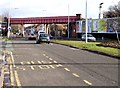
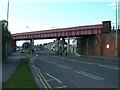
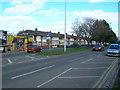
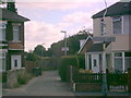

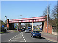
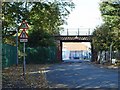


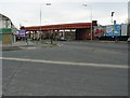

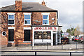
100 photos from this area
Area Information
Key information about the HU3 6LE including its size, population, and administrative classification.
- Area Type
- Postcode
- Area Size
- 4383 m²
- Population
- 1374
- Population Density
- 6099 people/km²
House Prices in HU3 6LE
21
Properties
£62,473
Average Sold Price
£15,500
Lowest Price
£123,000
Highest Price
Showing 21 properties
| Address | Type | Beds | Baths | Last Sale Price | Last Sale Date | |
|---|---|---|---|---|---|---|
| 653 Spring Bank West, Kingston Upon Hull, HU3 6LE | Terraced | 2 | 1 | £109,000 | Jan 2024 | |
| 655 Spring Bank West, Kingston Upon Hull, HU3 6LE | Terraced | 3 | 1 | £85,000 | Jul 2023 | |
| 633 Spring Bank West, Kingston Upon Hull, HU3 6LE | house | 3 | - | £123,000 | Feb 2023 | |
| 643 Spring Bank West, Kingston Upon Hull, HU3 6LE | Terraced | 3 | 1 | £72,500 | Jul 2020 | |
| 649 Spring Bank West, Kingston Upon Hull, HU3 6LE | Terraced | 2 | 1 | £70,000 | Oct 2019 | |
| 635 Spring Bank West, Kingston Upon Hull, HU3 6LE | Terraced | - | - | £119,950 | Dec 2007 | |
| 639 Spring Bank West, Kingston Upon Hull, HU3 6LE | Terraced | - | - | £75,950 | Oct 2007 | |
| 659 Spring Bank West, Kingston Upon Hull, HU3 6LE | house | 3 | - | £63,500 | Mar 2007 | |
| 647 Spring Bank West, Kingston Upon Hull, HU3 6LE | house | - | - | £57,000 | Feb 2004 | |
| 651 Spring Bank West, Kingston Upon Hull, HU3 6LE | Terraced | - | - | £41,000 | Feb 2003 |
Page 1 of 3
Energy Efficiency in HU3 6LE
Amenities
Schools
| Rank | School | Type | Entry gender | Ages |
|---|
Explore more schools in this area
Go to Schools tabDemographics
Household Size
One person
most common
Accommodation Type
Houses
most common
Tenure
36
majority
Ethnic Group
White
most common
Religion
N/A
most common
Household Composition
N/A
most common
Age
47
median
Adults (30-64 years)
most common
Household Deprivation
N/A
with no deprivation
NS-SEC
12
in Lower managerial occupations
Explore more demographic insights in this area
Go to Demographics tabPlanning
Planning Constraints
- Flood RiskPremium
- Ramsar Wetland SitesPremium
- Area of Outstanding Natural BeautyPremium
- Protected Nature ReservePremium
- Protected WoodlandPremium