Area Overview for HU20 3XJ
Photos of HU20 3XJ
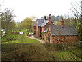
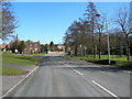
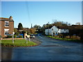
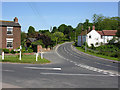
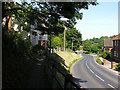
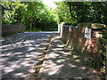
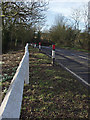
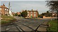
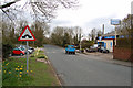
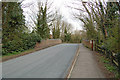
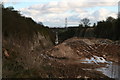
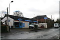
70 photos from this area
Area Information
Key information about the HU20 3XJ including its size, population, and administrative classification.
- Area Type
- Postcode
- Area Size
- 6013 m²
- Population
- 2491
- Population Density
- 42 people/km²
House Prices in HU20 3XJ
14
Properties
£267,500
Average Sold Price
£245,000
Lowest Price
£290,000
Highest Price
Showing 14 properties
| Address | Type | Beds | Baths | Last Sale Price | Last Sale Date | |
|---|---|---|---|---|---|---|
| Louvain, 53 Rowley Road, Little Weighton, HU20 3XJ | Bungalow | 2 | - | £245,000 | Mar 2017 | |
| Croft Park, 55 Rowley Road, Little Weighton, HU20 3XJ | Retail | 2 | 2 | £290,000 | Oct 2016 | |
| Old School Cottage, 49A Rowley Road, Little Weighton, HU20 3XJ | Terraced | 2 | 1 | - | - | |
| Raywell Cottage, 49C Rowley Road, Little Weighton, HU20 3XJ | Terraced | 3 | 1 | - | - | |
| Holly Lodge, Croft Park Holiday Lodges, 55 Rowley Road, Little Weighton, HU20 3XJ | Mobile Home | 2 | - | - | - | |
| School House, 47 Rowley Road, Little Weighton, HU20 3XJ | Semi-detached | - | - | - | - | |
| Old School Cottage, 49B Rowley Road, Little Weighton, HU20 3XJ | house | 3 | 1 | - | - | |
| Oak Lodge, Croft Park Holiday Lodges, 55 Rowley Road, Little Weighton, HU20 3XJ | Mobile Home | - | - | - | - | |
| Birch Lodge, Croft Park Holiday Lodges, 55 Rowley Road, Little Weighton, HU20 3XJ | Mobile Home | - | - | - | - | |
| Platinum Leisure Parks Limited, Croft Park Holiday Lodges, 55 Rowley Road, Little Weighton, HU20 3XJ | Leisure | - | - | - | - |
Page 1 of 2
Energy Efficiency in HU20 3XJ
Amenities
Schools
| Rank | School | Type | Entry gender | Ages |
|---|
Explore more schools in this area
Go to Schools tabDemographics
Household Size
Two person
most common
Accommodation Type
Houses
most common
Tenure
85
majority
Ethnic Group
White
most common
Religion
N/A
most common
Household Composition
N/A
most common
Age
47
median
Adults (30-64 years)
most common
Household Deprivation
N/A
with no deprivation
NS-SEC
46
in Lower managerial occupations
Explore more demographic insights in this area
Go to Demographics tabPlanning
Planning Constraints
- Flood RiskPremium
- Ramsar Wetland SitesPremium
- Area of Outstanding Natural BeautyPremium
- Protected Nature ReservePremium
- Protected WoodlandPremium