Area Overview for HU17 9TB
Photos of HU17 9TB
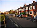
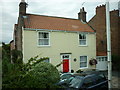
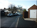

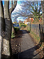

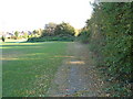
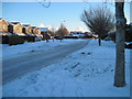
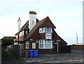
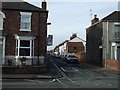
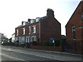
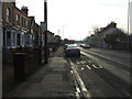
100 photos from this area
Area Information
Key information about the HU17 9TB including its size, population, and administrative classification.
- Area Type
- Postcode
- Area Size
- 2.1 hectares
- Population
- 1619
- Population Density
- 4727 people/km²
House Prices in HU17 9TB
46
Properties
£238,229
Average Sold Price
£94,950
Lowest Price
£445,000
Highest Price
Showing 46 properties
| Address | Type | Beds | Baths | Last Sale Price | Last Sale Date | |
|---|---|---|---|---|---|---|
| 29 Warwick Drive, Molescroft, HU17 9TB | Detached | 4 | 3 | £295,000 | Oct 2025 | |
| 16 Warwick Drive, Molescroft, HU17 9TB | Detached | 4 | 3 | £278,000 | Dec 2024 | |
| 11 Warwick Drive, Molescroft, HU17 9TB | Detached | 4 | 2 | £345,000 | Jul 2024 | |
| 26 Warwick Drive, Molescroft, HU17 9TB | house | 5 | 3 | £434,950 | Sep 2023 | |
| 32 Warwick Drive, Molescroft, HU17 9TB | Detached | 4 | 2 | £300,000 | Jul 2023 | |
| 33 Warwick Drive, Molescroft, HU17 9TB | Detached | 5 | 4 | £445,000 | Jun 2023 | |
| 20 Warwick Drive, Molescroft, HU17 9TB | house | - | - | £360,000 | Sep 2022 | |
| 22 Warwick Drive, Molescroft, HU17 9TB | house | - | - | £345,000 | May 2021 | |
| 7 Warwick Drive, Molescroft, HU17 9TB | Detached | 4 | - | £285,000 | Dec 2020 | |
| 28 Warwick Drive, Molescroft, HU17 9TB | Detached | 4 | 3 | £292,500 | Mar 2020 |
Page 1 of 5
Energy Efficiency in HU17 9TB
Amenities
Schools
| Rank | School | Type | Entry gender | Ages |
|---|
Explore more schools in this area
Go to Schools tabDemographics
Household Size
Two person
most common
Accommodation Type
Houses
most common
Tenure
87
majority
Ethnic Group
White
most common
Religion
N/A
most common
Household Composition
N/A
most common
Age
47
median
Adults (30-64 years)
most common
Household Deprivation
N/A
with no deprivation
NS-SEC
52
in Lower managerial occupations
Explore more demographic insights in this area
Go to Demographics tabPlanning
Planning Constraints
- Flood RiskPremium
- Ramsar Wetland SitesPremium
- Area of Outstanding Natural BeautyPremium
- Protected Nature ReservePremium
- Protected WoodlandPremium