Area Overview for HU17 8TP
Photos of HU17 8TP
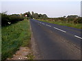
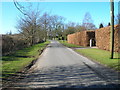
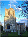
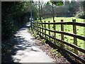
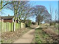
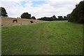
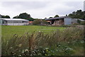

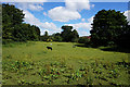
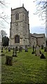
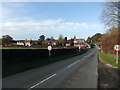
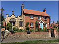
30 photos from this area
Area Information
Key information about the HU17 8TP including its size, population, and administrative classification.
- Area Type
- Postcode
- Area Size
- 1.8 hectares
- Population
- 1140
- Population Density
- 1021 people/km²
House Prices in HU17 8TP
30
Properties
£245,500
Average Sold Price
£70,000
Lowest Price
£493,000
Highest Price
Showing 30 properties
| Address | Type | Beds | Baths | Last Sale Price | Last Sale Date | |
|---|---|---|---|---|---|---|
| 2 West Mill Rise, Walkington, HU17 8TP | house | 3 | 1 | £237,000 | Jun 2025 | |
| 19 West Mill Rise, Walkington, HU17 8TP | Detached | 4 | 2 | £493,000 | Mar 2025 | |
| 10 West Mill Rise, Walkington, HU17 8TP | Bungalow | 2 | 1 | £221,500 | May 2023 | |
| Snickets, 11 West Mill Rise, Walkington, HU17 8TP | Bungalow | 3 | 1 | £331,000 | May 2023 | |
| 4 West Mill Rise, Walkington, HU17 8TP | house | 3 | 1 | £323,000 | Nov 2021 | |
| 17 West Mill Rise, Walkington, HU17 8TP | Detached | 3 | 2 | £320,000 | Mar 2021 | |
| 27 West Mill Rise, Walkington, HU17 8TP | house | - | - | £490,000 | Oct 2019 | |
| 14 West Mill Rise, Walkington, HU17 8TP | Bungalow | 3 | 1 | £248,500 | Oct 2017 | |
| 20 West Mill Rise, Walkington, HU17 8TP | Detached | 4 | - | £305,000 | Mar 2015 | |
| 34 West Mill Rise, Walkington, HU17 8TP | Detached | 4 | - | £462,500 | Feb 2015 |
Page 1 of 3
Energy Efficiency in HU17 8TP
Amenities
Schools
| Rank | School | Type | Entry gender | Ages |
|---|
Explore more schools in this area
Go to Schools tabDemographics
Household Size
Two person
most common
Accommodation Type
Houses
most common
Tenure
80
majority
Ethnic Group
White
most common
Religion
N/A
most common
Household Composition
N/A
most common
Age
47
median
Adults (30-64 years)
most common
Household Deprivation
N/A
with no deprivation
NS-SEC
47
in Lower managerial occupations
Explore more demographic insights in this area
Go to Demographics tabPlanning
Planning Constraints
- Flood RiskPremium
- Ramsar Wetland SitesPremium
- Area of Outstanding Natural BeautyPremium
- Protected Nature ReservePremium
- Protected WoodlandPremium