Area Overview for HU17 8JA
Photos of HU17 8JA
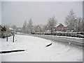
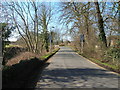
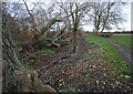
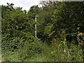

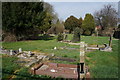
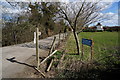
100 photos from this area
Area Information
Key information about the HU17 8JA including its size, population, and administrative classification.
- Area Type
- Postcode
- Area Size
- 1.4 hectares
- Population
- 1484
- Population Density
- 679 people/km²
House Prices in HU17 8JA
29
Properties
£121,228
Average Sold Price
£27,240
Lowest Price
£332,000
Highest Price
Showing 29 properties
| Address | Type | Beds | Baths | Last Sale Price | Last Sale Date | |
|---|---|---|---|---|---|---|
| 159 Keldgate, Beverley, HU17 8JA | Terraced | 2 | 1 | £130,000 | Apr 2022 | |
| 131-133 Keldgate, Beverley, HU17 8JA | house | - | - | £332,000 | Aug 2017 | |
| 157 Keldgate, Beverley, HU17 8JA | house | - | - | £84,000 | Nov 2014 | |
| 115 Keldgate, Beverley, HU17 8JA | house | 3 | 2 | £152,000 | Jan 2014 | |
| 161 Keldgate, Beverley, HU17 8JA | house | - | - | £86,000 | Oct 2011 | |
| 113 Keldgate, Beverley, HU17 8JA | house | 4 | - | £181,000 | Oct 2010 | |
| 107 Keldgate, Beverley, HU17 8JA | Terraced | 2 | 1 | £92,500 | Oct 2009 | |
| 171 Keldgate, Beverley, HU17 8JA | Semi-detached | 3 | 2 | £111,000 | Jun 2003 | |
| 127 Keldgate, Beverley, HU17 8JA | house | - | - | £90,000 | Dec 2002 | |
| 149 Keldgate, Beverley, HU17 8JA | house | 3 | 1 | £124,000 | Jun 2002 |
Page 1 of 3
Energy Efficiency in HU17 8JA
Amenities
Schools
| Rank | School | Type | Entry gender | Ages |
|---|
Explore more schools in this area
Go to Schools tabDemographics
Household Size
Two person
most common
Accommodation Type
Houses
most common
Tenure
82
majority
Ethnic Group
White
most common
Religion
N/A
most common
Household Composition
N/A
most common
Age
47
median
Adults (30-64 years)
most common
Household Deprivation
N/A
with no deprivation
NS-SEC
49
in Lower managerial occupations
Explore more demographic insights in this area
Go to Demographics tabPlanning
Planning Constraints
- Flood RiskPremium
- Ramsar Wetland SitesPremium
- Area of Outstanding Natural BeautyPremium
- Protected Nature ReservePremium
- Protected WoodlandPremium