Area Overview for HU17 7PG
Photos of HU17 7PG
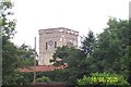

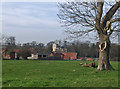
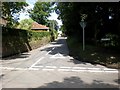
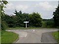
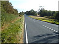

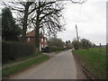
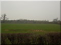
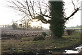
51 photos from this area
Area Information
Key information about the HU17 7PG including its size, population, and administrative classification.
- Area Type
- Postcode
- Area Size
- 36.6 hectares
- Population
- 1308
- Population Density
- 53 people/km²
House Prices in HU17 7PG
41
Properties
£256,324
Average Sold Price
£43,000
Lowest Price
£665,000
Highest Price
Showing 41 properties
| Address | Type | Beds | Baths | Last Sale Price | Last Sale Date | |
|---|---|---|---|---|---|---|
| 59 Main Street, Etton, HU17 7PG | Detached | 4 | 2 | £350,000 | Oct 2025 | |
| 49 Main Street, Etton, HU17 7PG | Semi-detached | 2 | 1 | £110,000 | Aug 2024 | |
| 47 Main Street, Etton, HU17 7PG | house | - | - | £188,500 | May 2022 | |
| Cherry Corner, 35 Main Street, Etton, HU17 7PG | house | - | - | £450,000 | Feb 2022 | |
| Beau Cottage, 51 Main Street, Etton, HU17 7PG | house | - | - | £410,000 | Apr 2021 | |
| Trinder Cottage, 39 Main Street, Etton, HU17 7PG | house | - | - | £447,000 | Mar 2021 | |
| 81 Main Street, Etton, HU17 7PG | Semi-detached | 4 | 2 | £350,000 | Feb 2020 | |
| 45 Main Street, Etton, HU17 7PG | house | - | - | £125,000 | May 2018 | |
| Appletree Cottage, 95 Main Street, Etton, HU17 7PG | Semi-detached | 3 | 1 | £210,000 | Jan 2018 | |
| Barnwell, 79 Main Street, Etton, HU17 7PG | house | - | - | £55,000 | Apr 2016 |
Page 1 of 5
Energy Efficiency in HU17 7PG
Amenities
Schools
| Rank | School | Type | Entry gender | Ages |
|---|
Explore more schools in this area
Go to Schools tabDemographics
Household Size
Two person
most common
Accommodation Type
Houses
most common
Tenure
83
majority
Ethnic Group
White
most common
Religion
N/A
most common
Household Composition
N/A
most common
Age
47
median
Adults (30-64 years)
most common
Household Deprivation
N/A
with no deprivation
NS-SEC
47
in Lower managerial occupations
Explore more demographic insights in this area
Go to Demographics tabPlanning
Planning Constraints
- Flood RiskPremium
- Ramsar Wetland SitesPremium
- Area of Outstanding Natural BeautyPremium
- Protected Nature ReservePremium
- Protected WoodlandPremium