Area Overview for HU17 7NG
Photos of HU17 7NG
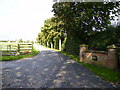
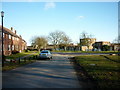
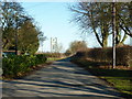
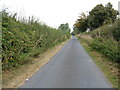
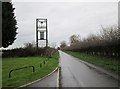
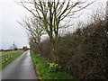
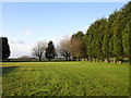
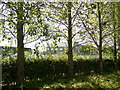
10 photos from this area
Area Information
Key information about the HU17 7NG including its size, population, and administrative classification.
- Area Type
- Postcode
- Area Size
- 90.7 hectares
- Population
- 2023
- Population Density
- 43 people/km²
House Prices in HU17 7NG
22
Properties
£151,815
Average Sold Price
£99,750
Lowest Price
£385,000
Highest Price
Showing 22 properties
| Address | Type | Beds | Baths | Last Sale Price | Last Sale Date | |
|---|---|---|---|---|---|---|
| 45 Grange Road, Leconfield, HU17 7NG | Semi-detached | 3 | 1 | £187,000 | Jan 2023 | |
| 48 Grange Road, Leconfield, HU17 7NG | house | - | - | £232,501 | May 2021 | |
| 39 Grange Road, Leconfield, HU17 7NG | house | - | - | £163,000 | Feb 2021 | |
| Leconfield Grange, Grange Road, Leconfield, HU17 7NG | Semi-detached | 5 | 2 | £385,000 | May 2014 | |
| 49 Grange Road, Leconfield, HU17 7NG | Semi-detached | 3 | - | £138,000 | Mar 2014 | |
| 42 Grange Road, Leconfield, HU17 7NG | Semi-detached | 3 | - | £137,000 | Mar 2013 | |
| 46 Grange Road, Leconfield, HU17 7NG | Semi-detached | - | - | £124,950 | Jun 2008 | |
| 51 Grange Road, Leconfield, HU17 7NG | Semi-detached | - | - | £115,000 | Mar 2006 | |
| 52 Grange Road, Leconfield, HU17 7NG | Semi-detached | - | - | £114,000 | Nov 2005 | |
| 50 Grange Road, Leconfield, HU17 7NG | Semi-detached | 3 | 1 | £124,950 | Aug 2005 |
Page 1 of 3
Energy Efficiency in HU17 7NG
Amenities
Schools
| Rank | School | Type | Entry gender | Ages |
|---|
Explore more schools in this area
Go to Schools tabDemographics
Household Size
Two person
most common
Accommodation Type
Houses
most common
Tenure
55
majority
Ethnic Group
White
most common
Religion
N/A
most common
Household Composition
N/A
most common
Age
47
median
Adults (30-64 years)
most common
Household Deprivation
N/A
with no deprivation
NS-SEC
30
in Lower managerial occupations
Explore more demographic insights in this area
Go to Demographics tabPlanning
Planning Constraints
- Flood RiskPremium
- Ramsar Wetland SitesPremium
- Area of Outstanding Natural BeautyPremium
- Protected Nature ReservePremium
- Protected WoodlandPremium