Area Overview for HU17 5NY
Photos of HU17 5NY
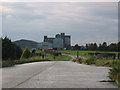
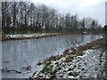
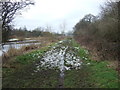
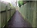
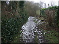
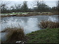
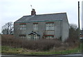
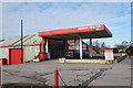
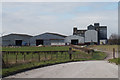
42 photos from this area
Area Information
Key information about the HU17 5NY including its size, population, and administrative classification.
- Area Type
- Postcode
- Area Size
- 30.0 hectares
- Population
- 2348
- Population Density
- 145 people/km²
House Prices in HU17 5NY
20
Properties
£323,700
Average Sold Price
£115,000
Lowest Price
£525,000
Highest Price
Showing 20 properties
| Address | Type | Beds | Baths | Last Sale Price | Last Sale Date | |
|---|---|---|---|---|---|---|
| Elm Tree House, 41 South Street, Leven, HU17 5NY | Detached | 4 | 1 | £380,000 | Aug 2025 | |
| 37 South Street, Leven, HU17 5NY | Detached | 4 | 1 | £226,500 | Nov 2024 | |
| Thornydown, 60 South Street, Leven, HU17 5NY | house | - | - | £417,500 | Jun 2023 | |
| 47 South Street, Leven, HU17 5NY | house | 5 | 2 | £423,000 | Oct 2022 | |
| 39 South Street, Leven, HU17 5NY | Detached | 4 | 1 | £255,000 | Oct 2016 | |
| Canal House, 48 South Street, Leven, HU17 5NY | storage_distribution | 5 | - | £525,000 | Sep 2013 | |
| Brookholme, 62 South Street, Leven, HU17 5NY | Bungalow | - | - | £295,000 | Jul 2009 | |
| Halingway House, South Street, Leven, HU17 5NY | Detached | - | - | £425,000 | Feb 2006 | |
| 70 South Street, Leven, HU17 5NY | house | - | - | £175,000 | Jul 2003 | |
| 72 South Street, Leven, HU17 5NY | Detached | - | - | £115,000 | Mar 2002 |
Page 1 of 2
Energy Efficiency in HU17 5NY
Amenities
Schools
| Rank | School | Type | Entry gender | Ages |
|---|
Explore more schools in this area
Go to Schools tabDemographics
Household Size
Two person
most common
Accommodation Type
Houses
most common
Tenure
86
majority
Ethnic Group
White
most common
Religion
N/A
most common
Household Composition
N/A
most common
Age
47
median
Adults (30-64 years)
most common
Household Deprivation
N/A
with no deprivation
NS-SEC
36
in Lower managerial occupations
Explore more demographic insights in this area
Go to Demographics tabPlanning
Planning Constraints
- Flood RiskPremium
- Ramsar Wetland SitesPremium
- Area of Outstanding Natural BeautyPremium
- Protected Nature ReservePremium
- Protected WoodlandPremium