Area Overview for HU17 0NT
Photos of HU17 0NT
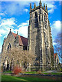
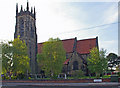
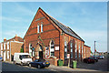
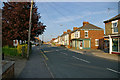
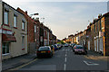
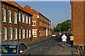
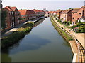
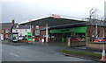
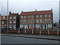
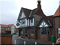
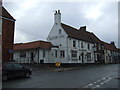
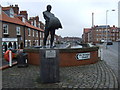
100 photos from this area
Area Information
Key information about the HU17 0NT including its size, population, and administrative classification.
- Area Type
- Postcode
- Area Size
- 2.1 hectares
- Population
- 1558
- Population Density
- 3387 people/km²
House Prices in HU17 0NT
18
Properties
£121,369
Average Sold Price
£34,000
Lowest Price
£180,000
Highest Price
Showing 18 properties
| Address | Type | Beds | Baths | Last Sale Price | Last Sale Date | |
|---|---|---|---|---|---|---|
| 35 Flemingate, Beverley, HU17 0NT | Terraced | 2 | 1 | £180,000 | Jul 2024 | |
| 51 Flemingate, Beverley, HU17 0NT | Terraced | 2 | 1 | £170,000 | Mar 2024 | |
| 49 Flemingate, Beverley, HU17 0NT | house | 2 | 1 | £125,000 | Feb 2023 | |
| 43 Flemingate, Beverley, HU17 0NT | Terraced | 2 | 1 | £106,000 | Dec 2011 | |
| 39 Flemingate, Beverley, HU17 0NT | house | - | - | £124,950 | Feb 2010 | |
| 33 Flemingate, Beverley, HU17 0NT | house | - | - | £132,500 | Dec 2007 | |
| 59 Flemingate, Beverley, HU17 0NT | Detached | - | - | £98,500 | Apr 2002 | |
| 53 Flemingate, Beverley, HU17 0NT | Terraced | - | - | £34,000 | Dec 1996 | |
| 55 Flemingate, Beverley, HU17 0NT | Terraced | 2 | 1 | - | - | |
| 41 Flemingate, Beverley, HU17 0NT | Terraced | 2 | 1 | - | - |
Page 1 of 2
Energy Efficiency in HU17 0NT
Amenities
Schools
| Rank | School | Type | Entry gender | Ages |
|---|
Explore more schools in this area
Go to Schools tabDemographics
Household Size
One person
most common
Accommodation Type
Houses
most common
Tenure
53
majority
Ethnic Group
White
most common
Religion
N/A
most common
Household Composition
N/A
most common
Age
47
median
Adults (30-64 years)
most common
Household Deprivation
N/A
with no deprivation
NS-SEC
40
in Lower managerial occupations
Explore more demographic insights in this area
Go to Demographics tabPlanning
Planning Constraints
- Flood RiskPremium
- Ramsar Wetland SitesPremium
- Area of Outstanding Natural BeautyPremium
- Protected Nature ReservePremium
- Protected WoodlandPremium