Area Overview for HU17 0JB
Photos of HU17 0JB
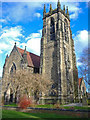
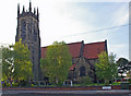
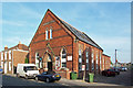
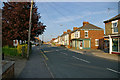
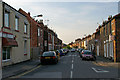
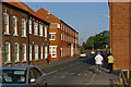
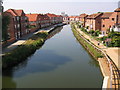
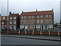
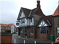
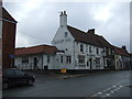
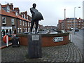
100 photos from this area
Area Information
Key information about the HU17 0JB including its size, population, and administrative classification.
- Area Type
- Postcode
- Area Size
- 1.5 hectares
- Population
- 1538
- Population Density
- 1212 people/km²
House Prices in HU17 0JB
42
Properties
£112,545
Average Sold Price
£47,000
Lowest Price
£150,000
Highest Price
Showing 42 properties
| Address | Type | Beds | Baths | Last Sale Price | Last Sale Date | |
|---|---|---|---|---|---|---|
| 36 Warton Avenue, Beverley, HU17 0JB | Terraced | 3 | 2 | £125,000 | May 2024 | |
| 5 Warton Avenue, Beverley, HU17 0JB | Semi-detached | 3 | 1 | £150,000 | May 2017 | |
| 15 Warton Avenue, Beverley, HU17 0JB | Terraced | 3 | - | £127,000 | Mar 2016 | |
| 40 Warton Avenue, Beverley, HU17 0JB | Semi-detached | 3 | 2 | £140,000 | Oct 2015 | |
| 2 Warton Avenue, Beverley, HU17 0JB | house | - | - | £133,100 | Aug 2015 | |
| 25 Warton Avenue, Beverley, HU17 0JB | Terraced | 3 | 1 | £133,000 | Jul 2015 | |
| 13 Warton Avenue, Beverley, HU17 0JB | Semi-detached | - | - | £124,950 | Apr 2008 | |
| 32 Warton Avenue, Beverley, HU17 0JB | Terraced | - | - | £122,000 | Jun 2006 | |
| 24 Warton Avenue, Beverley, HU17 0JB | Terraced | - | - | £80,000 | Oct 2005 | |
| 27 Warton Avenue, Beverley, HU17 0JB | Terraced | - | - | £55,950 | May 2003 |
Page 1 of 5
Energy Efficiency in HU17 0JB
Amenities
Schools
| Rank | School | Type | Entry gender | Ages |
|---|
Explore more schools in this area
Go to Schools tabDemographics
Household Size
One person
most common
Accommodation Type
Houses
most common
Tenure
43
majority
Ethnic Group
White
most common
Religion
N/A
most common
Household Composition
N/A
most common
Age
47
median
Adults (30-64 years)
most common
Household Deprivation
N/A
with no deprivation
NS-SEC
22
in Lower managerial occupations
Explore more demographic insights in this area
Go to Demographics tabPlanning
Planning Constraints
- Flood RiskPremium
- Ramsar Wetland SitesPremium
- Area of Outstanding Natural BeautyPremium
- Protected Nature ReservePremium
- Protected WoodlandPremium