Area Overview for HU16 5TQ
Photos of HU16 5TQ
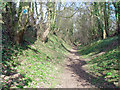
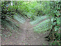
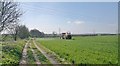
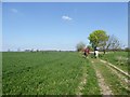
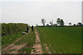
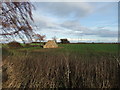
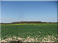
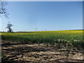
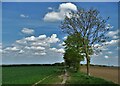
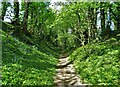
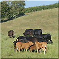
25 photos from this area
Area Information
Key information about the HU16 5TQ including its size, population, and administrative classification.
- Area Type
- Postcode
- Area Size
- 31.5 hectares
- Population
- 1236
- Population Density
- 67 people/km²
House Prices in HU16 5TQ
15
Properties
£252,927
Average Sold Price
£64,000
Lowest Price
£438,500
Highest Price
Showing 15 properties
| Address | Type | Beds | Baths | Last Sale Price | Last Sale Date | |
|---|---|---|---|---|---|---|
| 9 Church Rise, Skidby, HU16 5TQ | Bungalow | - | - | £430,000 | Sep 2024 | |
| Glen Garth, 7 Church Rise, Skidby, HU16 5TQ | Retail | 2 | 1 | £300,000 | Sep 2022 | |
| 8 Church Rise, Skidby, HU16 5TQ | Bungalow | 3 | - | £270,000 | Sep 2020 | |
| 5 Church Rise, Skidby, HU16 5TQ | house | - | - | £385,000 | Dec 2019 | |
| 1 Church Rise, Skidby, HU16 5TQ | Detached | 3 | 2 | £438,500 | Dec 2019 | |
| 16 Church Rise, Skidby, HU16 5TQ | Bungalow | - | - | £190,000 | Sep 2019 | |
| 4 Church Rise, Skidby, HU16 5TQ | Bungalow | - | - | £192,000 | Aug 2013 | |
| 10 Church Rise, Skidby, HU16 5TQ | house | 3 | - | £158,500 | Oct 2012 | |
| 6 Church Rise, Skidby, HU16 5TQ | Semi-detached | - | - | £175,000 | Feb 2007 | |
| 12 Church Rise, Skidby, HU16 5TQ | Semi-detached | - | - | £179,200 | Oct 2006 |
Page 1 of 2
Energy Efficiency in HU16 5TQ
Amenities
Schools
| Rank | School | Type | Entry gender | Ages |
|---|
Explore more schools in this area
Go to Schools tabDemographics
Household Size
Two person
most common
Accommodation Type
Houses
most common
Tenure
85
majority
Ethnic Group
White
most common
Religion
N/A
most common
Household Composition
N/A
most common
Age
47
median
Adults (30-64 years)
most common
Household Deprivation
N/A
with no deprivation
NS-SEC
39
in Lower managerial occupations
Explore more demographic insights in this area
Go to Demographics tabPlanning
Planning Constraints
- Flood RiskPremium
- Ramsar Wetland SitesPremium
- Area of Outstanding Natural BeautyPremium
- Protected Nature ReservePremium
- Protected WoodlandPremium