Area Overview for HU16 5QG
Photos of HU16 5QG
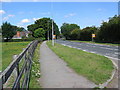
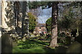
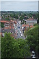
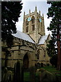
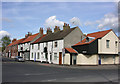
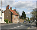
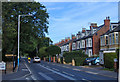
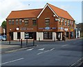
100 photos from this area
Area Information
Key information about the HU16 5QG including its size, population, and administrative classification.
- Area Type
- Postcode
- Area Size
- 6405 m²
- Population
- 1364
- Population Density
- 3885 people/km²
House Prices in HU16 5QG
9
Properties
-
Average Sold Price
-
Lowest Price
-
Highest Price
Showing 9 properties
| Address | Type | Beds | Baths | Last Sale Price | Last Sale Date | |
|---|---|---|---|---|---|---|
| The Flat, The Duke Of Cumberland, Market Green, Cottingham, HU16 5QG | Flat | - | - | - | - | |
| The Duke Of Cumberland, Market Green, Cottingham, HU16 5QG | restaurant_cafe | - | - | - | - | |
| Cottingham Library, Cottingham Centre, Market Green, Cottingham, HU16 5QG | commercial | - | - | - | - | |
| National Market Traders Federation, 11 Market Green, Cottingham, HU16 5QG | commercial | - | - | - | - | |
| Humberside Police, Market Green, Cottingham, HU16 5QG | commercial | - | - | - | - | |
| The Market Place, King Street, Cottingham, HU16 5QG | Retail | - | - | - | - | |
| Skidby Parish Council, 9 Market Green, Cottingham, HU16 5QG | Office | - | - | - | - | |
| East Riding Of Yorkshire Council, Customer Service Centre, Cottingham Centre, Market Green, Cottingham, HU16 5QG | Office | - | - | - | - | |
| Cottingham Registrars, Cottingham Centre, Market Green, Cottingham, HU16 5QG | Office | - | - | - | - |
Energy Efficiency in HU16 5QG
Amenities
Schools
| Rank | School | Type | Entry gender | Ages |
|---|
Explore more schools in this area
Go to Schools tabDemographics
Household Size
One person
most common
Accommodation Type
Houses
most common
Tenure
63
majority
Ethnic Group
White
most common
Religion
N/A
most common
Household Composition
N/A
most common
Age
47
median
Adults (30-64 years)
most common
Household Deprivation
N/A
with no deprivation
NS-SEC
39
in Lower managerial occupations
Explore more demographic insights in this area
Go to Demographics tabPlanning
Planning Constraints
- Flood RiskPremium
- Ramsar Wetland SitesPremium
- Area of Outstanding Natural BeautyPremium
- Protected Nature ReservePremium
- Protected WoodlandPremium