Area Overview for HU16 4JT
Photos of HU16 4JT
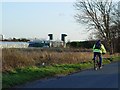
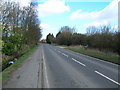
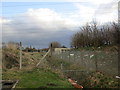
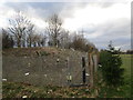
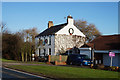

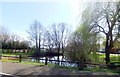
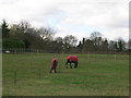
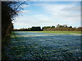
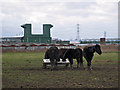
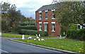
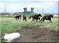
15 photos from this area
Area Information
Key information about the HU16 4JT including its size, population, and administrative classification.
- Area Type
- Postcode
- Area Size
- 16.6 hectares
- Population
- 1316
- Population Density
- 255 people/km²
House Prices in HU16 4JT
21
Properties
£268,625
Average Sold Price
£90,000
Lowest Price
£340,000
Highest Price
Showing 21 properties
| Address | Type | Beds | Baths | Last Sale Price | Last Sale Date | |
|---|---|---|---|---|---|---|
| Redroofs, Dunswell Road, Cottingham, HU16 4JT | house | - | - | £90,000 | Jan 2020 | |
| BEECHWOOD, DUNSWELL ROAD, Cottingham, HU16 4JT | Detached | - | - | £340,000 | Nov 2018 | |
| Arcadia, Dunswell Road, Cottingham, HU16 4JT | Bungalow | 4 | 2 | £334,500 | Apr 2017 | |
| Garden House, Dunswell Road, Cottingham, HU16 4JT | house | 6 | - | £310,000 | Oct 2006 | |
| Tudor Stones, Dunswell Road, Cottingham, HU16 4JT | Bungalow | - | - | - | - | |
| Poplar House, Dunswell Road, Cottingham, HU16 4JT | Detached | - | - | - | - | |
| West View, Dunswell Road, Cottingham, HU16 4JT | house | - | - | - | - | |
| Room 5, Phoenix House, Dunswell Road, Cottingham, HU16 4JT | Office | - | - | - | - | |
| Miller-eyre Construction Limited, Room 1, Phoenix House, Dunswell Road, Cottingham, HU16 4JT | Office | - | - | - | - | |
| Room 3, Phoenix House, Dunswell Road, Cottingham, HU16 4JT | Office | - | - | - | - |
Page 1 of 3
Energy Efficiency in HU16 4JT
Amenities
Schools
| Rank | School | Type | Entry gender | Ages |
|---|
Explore more schools in this area
Go to Schools tabDemographics
Household Size
Two person
most common
Accommodation Type
Houses
most common
Tenure
87
majority
Ethnic Group
White
most common
Religion
N/A
most common
Household Composition
N/A
most common
Age
47
median
Adults (30-64 years)
most common
Household Deprivation
N/A
with no deprivation
NS-SEC
38
in Lower managerial occupations
Explore more demographic insights in this area
Go to Demographics tabPlanning
Planning Constraints
- Flood RiskPremium
- Ramsar Wetland SitesPremium
- Area of Outstanding Natural BeautyPremium
- Protected Nature ReservePremium
- Protected WoodlandPremium