Area Overview for HU16 4DT
Photos of HU16 4DT
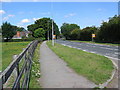

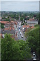
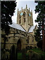


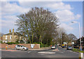

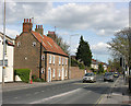
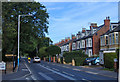
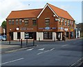
100 photos from this area
Area Information
Key information about the HU16 4DT including its size, population, and administrative classification.
- Area Type
- Postcode
- Area Size
- 1.6 hectares
- Population
- 1629
- Population Density
- 3637 people/km²
House Prices in HU16 4DT
22
Properties
£279,994
Average Sold Price
£77,500
Lowest Price
£700,000
Highest Price
Showing 22 properties
| Address | Type | Beds | Baths | Last Sale Price | Last Sale Date | |
|---|---|---|---|---|---|---|
| 38 Newgate Street, Cottingham, HU16 4DT | Semi-detached | 3 | 1 | £330,000 | May 2025 | |
| 40 Newgate Street, Cottingham, HU16 4DT | Semi-detached | 4 | 1 | £351,000 | Mar 2025 | |
| 14 Newgate Street, Cottingham, HU16 4DT | Terraced | 4 | 1 | £270,000 | Aug 2022 | |
| Rhododendron House, 32 Newgate Street, Cottingham, HU16 4DT | house | - | - | £330,000 | Jun 2021 | |
| Redgarth, 6 Newgate Street, Cottingham, HU16 4DT | Detached | 4 | 3 | £700,000 | May 2021 | |
| Delvorar, 44 Newgate Street, Cottingham, HU16 4DT | house | 4 | - | £530,000 | Jan 2021 | |
| Villa Flora, 30 Newgate Street, Cottingham, HU16 4DT | Semi-detached | 4 | 1 | £279,000 | Sep 2020 | |
| 10 Newgate Street, Cottingham, HU16 4DT | Terraced | 7 | 1 | £233,000 | Jun 2013 | |
| 22 Newgate Street, Cottingham, HU16 4DT | house | 4 | - | £241,500 | Mar 2011 | |
| 16 Newgate Street, Cottingham, HU16 4DT | house | - | - | £277,500 | Sep 2010 |
Page 1 of 3
Energy Efficiency in HU16 4DT
Amenities
Schools
| Rank | School | Type | Entry gender | Ages |
|---|
Explore more schools in this area
Go to Schools tabDemographics
Household Size
Two person
most common
Accommodation Type
Houses
most common
Tenure
78
majority
Ethnic Group
White
most common
Religion
N/A
most common
Household Composition
N/A
most common
Age
47
median
Adults (30-64 years)
most common
Household Deprivation
N/A
with no deprivation
NS-SEC
42
in Lower managerial occupations
Explore more demographic insights in this area
Go to Demographics tabPlanning
Planning Constraints
- Flood RiskPremium
- Ramsar Wetland SitesPremium
- Area of Outstanding Natural BeautyPremium
- Protected Nature ReservePremium
- Protected WoodlandPremium