Area Overview for HU15 2XH
Photos of HU15 2XH


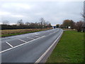


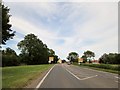
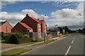
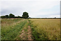

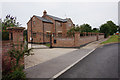
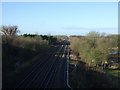
25 photos from this area
Area Information
Key information about the HU15 2XH including its size, population, and administrative classification.
- Area Type
- Postcode
- Area Size
- 39.5 hectares
- Population
- 1917
- Population Density
- 361 people/km²
House Prices in HU15 2XH
48
Properties
£258,013
Average Sold Price
£60,000
Lowest Price
£527,500
Highest Price
Showing 48 properties
| Address | Type | Beds | Baths | Last Sale Price | Last Sale Date | |
|---|---|---|---|---|---|---|
| Rosegarth, Sandholme Road, Gilberdyke, HU15 2XH | Bungalow | 3 | 1 | £276,136 | Feb 2025 | |
| Sunnymead, Sandholme Road, Gilberdyke, HU15 2XH | Lodge | 6 | 3 | £415,000 | Oct 2023 | |
| St Anton, Sandholme Road, Gilberdyke, HU15 2XH | Bungalow | 3 | 1 | £270,000 | Sep 2021 | |
| Beech Tree House, Sandholme Road, Gilberdyke, HU15 2XH | Detached | 4 | - | £373,000 | Mar 2021 | |
| Pear Tree House, Sandholme Road, Gilberdyke, HU15 2XH | Detached | 4 | 1 | £390,000 | Jan 2021 | |
| Plantasia, Sandholme Road, Gilberdyke, HU15 2XH | Bungalow | 3 | 1 | £222,500 | Feb 2020 | |
| Wayside, Sandholme Road, Gilberdyke, HU15 2XH | Detached | 5 | - | £520,000 | Aug 2017 | |
| Failte, Sandholme Road, Gilberdyke, HU15 2XH | Bungalow | - | - | £199,950 | Mar 2017 | |
| Manor House, Sandholme Road, Gilberdyke, HU15 2XH | house | - | - | £350,000 | Dec 2016 | |
| Tramist, Sandholme Road, Gilberdyke, HU15 2XH | Detached | 3 | 2 | £233,000 | Jun 2015 |
Page 1 of 5
Energy Efficiency in HU15 2XH
Amenities
Schools
| Rank | School | Type | Entry gender | Ages |
|---|
Explore more schools in this area
Go to Schools tabDemographics
Household Size
Two person
most common
Accommodation Type
Houses
most common
Tenure
73
majority
Ethnic Group
White
most common
Religion
N/A
most common
Household Composition
N/A
most common
Age
47
median
Adults (30-64 years)
most common
Household Deprivation
N/A
with no deprivation
NS-SEC
30
in Lower managerial occupations
Explore more demographic insights in this area
Go to Demographics tabPlanning
Planning Constraints
- Flood RiskPremium
- Ramsar Wetland SitesPremium
- Area of Outstanding Natural BeautyPremium
- Protected Nature ReservePremium
- Protected WoodlandPremium