Area Overview for HU15 1QG
Photos of HU15 1QG
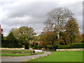
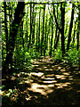
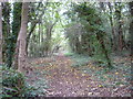
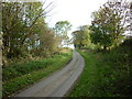
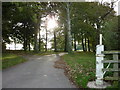
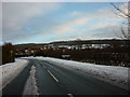
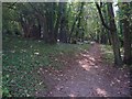
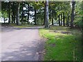
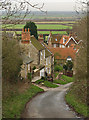
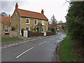
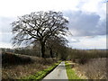
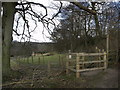
74 photos from this area
Area Information
Key information about the HU15 1QG including its size, population, and administrative classification.
- Area Type
- Postcode
- Area Size
- 68.8 hectares
- Population
- 1814
- Population Density
- 291 people/km²
House Prices in HU15 1QG
12
Properties
£451,667
Average Sold Price
£215,000
Lowest Price
£875,000
Highest Price
Showing 12 properties
| Address | Type | Beds | Baths | Last Sale Price | Last Sale Date | |
|---|---|---|---|---|---|---|
| Meadow Barn, Thorpe Drive, Brantingham, HU15 1QG | house | 4 | 5 | £875,000 | Jul 2017 | |
| Thorpe Drive Cottage, Thorpe Drive, Brantingham, HU15 1QG | Semi-detached | - | - | £265,000 | Oct 2014 | |
| Byre Cottage, Thorpe Drive, Brantingham, HU15 1QG | Detached | - | - | £215,000 | Oct 2002 | |
| Brantingham Thorpe, Thorpe Drive, Brantingham, HU15 1QG | Detached | 4 | 3 | - | - | |
| The Coach House, Brantinghamthorpe Court, Thorpe Drive, Brantingham, HU15 1QG | Semi-detached | 5 | 3 | - | - | |
| Woodlands House, Brantinghamthorpe Court, Thorpe Drive, Brantingham, HU15 1QG | house | 5 | - | - | - | |
| Richmond Falls, Thorpe Drive, Brantingham, HU15 1QG | house | - | - | - | - | |
| Corner Cottage, 1 Thorpe Drive, Brantingham, HU15 1QG | Detached | - | - | - | - | |
| Home Farm, Thorpe Drive, Brantingham, HU15 1QG | house | 3 | - | - | - | |
| Crookhill Cottage, Thorpe Drive, Brantingham, HU15 1QG | Detached | - | - | - | - |
Page 1 of 2
Energy Efficiency in HU15 1QG
Amenities
Schools
| Rank | School | Type | Entry gender | Ages |
|---|
Explore more schools in this area
Go to Schools tabDemographics
Household Size
Two person
most common
Accommodation Type
Houses
most common
Tenure
82
majority
Ethnic Group
White
most common
Religion
N/A
most common
Household Composition
N/A
most common
Age
47
median
Adults (30-64 years)
most common
Household Deprivation
N/A
with no deprivation
NS-SEC
50
in Lower managerial occupations
Explore more demographic insights in this area
Go to Demographics tabPlanning
Planning Constraints
- Flood RiskPremium
- Ramsar Wetland SitesPremium
- Area of Outstanding Natural BeautyPremium
- Protected Nature ReservePremium
- Protected WoodlandPremium