Area Overview for HU15 1NN
Photos of HU15 1NN
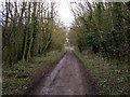
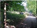
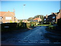

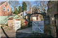
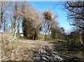
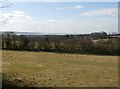
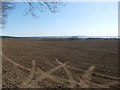
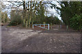
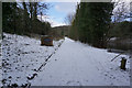
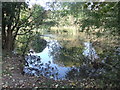
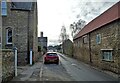
49 photos from this area
Area Information
Key information about the HU15 1NN including its size, population, and administrative classification.
- Area Type
- Postcode
- Area Size
- 2.0 hectares
- Population
- 2669
- Population Density
- 222 people/km²
House Prices in HU15 1NN
18
Properties
£184,787
Average Sold Price
£65,000
Lowest Price
£274,950
Highest Price
Showing 18 properties
| Address | Type | Beds | Baths | Last Sale Price | Last Sale Date | |
|---|---|---|---|---|---|---|
| 12 Park Road, Welton, HU15 1NN | Bungalow | - | - | £175,620 | Nov 2020 | |
| 5 Park Road, Welton, HU15 1NN | Detached | 2 | 2 | £255,000 | Mar 2019 | |
| 16 Park Road, Welton, HU15 1NN | Semi-detached | - | - | £165,000 | Feb 2019 | |
| 2 Park Road, Welton, HU15 1NN | Bungalow | 3 | 2 | £195,000 | Jul 2018 | |
| 17 Park Road, Welton, HU15 1NN | house | - | - | £230,000 | Apr 2018 | |
| 19 Park Road, Welton, HU15 1NN | Bungalow | - | - | £190,000 | Jan 2015 | |
| 21 Park Road, Welton, HU15 1NN | Bungalow | 3 | - | £179,950 | Apr 2012 | |
| 8 Park Road, Welton, HU15 1NN | Bungalow | 3 | - | £129,000 | Apr 2011 | |
| 15 Park Road, Welton, HU15 1NN | Bungalow | 3 | - | £205,000 | Jul 2010 | |
| 9 Park Road, Welton, HU15 1NN | Bungalow | - | - | £185,000 | Mar 2010 |
Page 1 of 2
Energy Efficiency in HU15 1NN
Amenities
Schools
| Rank | School | Type | Entry gender | Ages |
|---|
Explore more schools in this area
Go to Schools tabDemographics
Household Size
Family (3-5 people)
most common
Accommodation Type
Houses
most common
Tenure
79
majority
Ethnic Group
White
most common
Religion
N/A
most common
Household Composition
N/A
most common
Age
47
median
Adults (30-64 years)
most common
Household Deprivation
N/A
with no deprivation
NS-SEC
48
in Lower managerial occupations
Explore more demographic insights in this area
Go to Demographics tabPlanning
Planning Constraints
- Flood RiskPremium
- Ramsar Wetland SitesPremium
- Area of Outstanding Natural BeautyPremium
- Protected Nature ReservePremium
- Protected WoodlandPremium