Area Overview for HU15 1JL
Photos of HU15 1JL
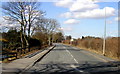
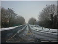
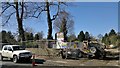
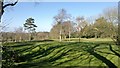
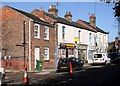
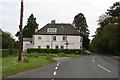
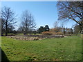
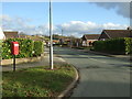
29 photos from this area
Area Information
Key information about the HU15 1JL including its size, population, and administrative classification.
- Area Type
- Postcode
- Area Size
- 4.1 hectares
- Population
- 1814
- Population Density
- 291 people/km²
House Prices in HU15 1JL
21
Properties
£424,795
Average Sold Price
£134,000
Lowest Price
£995,000
Highest Price
Showing 21 properties
| Address | Type | Beds | Baths | Last Sale Price | Last Sale Date | |
|---|---|---|---|---|---|---|
| Copper Hill, 6 Mill Lane, Elloughton, HU15 1JL | Detached | 6 | 3 | £995,000 | May 2025 | |
| 3 Mill Lane, Elloughton, HU15 1JL | Semi-detached | 3 | 2 | £290,000 | Jun 2024 | |
| 15 Mill Lane, Elloughton, HU15 1JL | house | - | - | £389,000 | Oct 2021 | |
| Woodstock, 9A Mill Lane, Elloughton, HU15 1JL | Bungalow | - | - | £399,950 | Oct 2021 | |
| 9 Mill Lane, Elloughton, HU15 1JL | Bungalow | - | - | £235,000 | Sep 2014 | |
| 16 Mill Lane, Elloughton, HU15 1JL | Detached | 5 | 4 | £725,000 | May 2013 | |
| 1 Mill Lane, Elloughton, HU15 1JL | house | - | - | £185,000 | Aug 2006 | |
| Castle House, 27 Mill Lane, Elloughton, HU15 1JL | house | 5 | - | £700,000 | Aug 2004 | |
| 17 Mill Lane, Elloughton, HU15 1JL | Semi-detached | - | - | £134,000 | Jun 2001 | |
| 23 Mill Lane, Elloughton, HU15 1JL | Detached | - | - | £195,000 | Feb 1998 |
Page 1 of 3
Energy Efficiency in HU15 1JL
Amenities
Schools
| Rank | School | Type | Entry gender | Ages |
|---|
Explore more schools in this area
Go to Schools tabDemographics
Household Size
Two person
most common
Accommodation Type
Houses
most common
Tenure
82
majority
Ethnic Group
White
most common
Religion
N/A
most common
Household Composition
N/A
most common
Age
47
median
Adults (30-64 years)
most common
Household Deprivation
N/A
with no deprivation
NS-SEC
50
in Lower managerial occupations
Explore more demographic insights in this area
Go to Demographics tabPlanning
Planning Constraints
- Flood RiskPremium
- Ramsar Wetland SitesPremium
- Area of Outstanding Natural BeautyPremium
- Protected Nature ReservePremium
- Protected WoodlandPremium