Area Overview for HU15 1EB
Photos of HU15 1EB
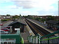
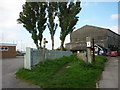
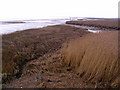
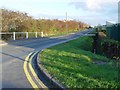
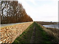
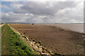
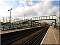
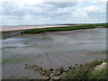
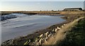
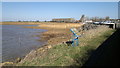
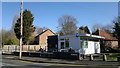
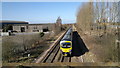
98 photos from this area
Area Information
Key information about the HU15 1EB including its size, population, and administrative classification.
- Area Type
- Postcode
- Area Size
- 1.0 hectares
- Population
- 1212
- Population Density
- 261 people/km²
House Prices in HU15 1EB
32
Properties
£130,711
Average Sold Price
£37,525
Lowest Price
£254,500
Highest Price
Showing 32 properties
| Address | Type | Beds | Baths | Last Sale Price | Last Sale Date | |
|---|---|---|---|---|---|---|
| 21 Grassdale Park, Brough, HU15 1EB | house | 3 | 2 | £183,000 | Feb 2025 | |
| 24 Grassdale Park, Brough, HU15 1EB | house | - | - | £170,000 | Feb 2023 | |
| 28 Grassdale Park, Brough, HU15 1EB | house | - | - | £135,200 | Oct 2021 | |
| 2 Grassdale Park, Brough, HU15 1EB | Flat | 2 | - | £254,500 | Mar 2021 | |
| 3A Grassdale Park, Brough, HU15 1EB | house | - | - | £188,500 | Mar 2019 | |
| 3B Grassdale Park, Brough, HU15 1EB | Semi-detached | 3 | 1 | £180,000 | May 2018 | |
| 15 Grassdale Park, Brough, HU15 1EB | house | - | - | £142,000 | Aug 2017 | |
| 11 Grassdale Park, Brough, HU15 1EB | house | - | - | £124,950 | Nov 2013 | |
| 26 Grassdale Park, Brough, HU15 1EB | house | 3 | 2 | £122,000 | Sep 2012 | |
| 18 Grassdale Park, Brough, HU15 1EB | Terraced | 3 | - | £107,000 | Apr 2011 |
Page 1 of 4
Energy Efficiency in HU15 1EB
Amenities
Schools
| Rank | School | Type | Entry gender | Ages |
|---|
Explore more schools in this area
Go to Schools tabDemographics
Household Size
Two person
most common
Accommodation Type
Houses
most common
Tenure
73
majority
Ethnic Group
White
most common
Religion
N/A
most common
Household Composition
N/A
most common
Age
47
median
Adults (30-64 years)
most common
Household Deprivation
N/A
with no deprivation
NS-SEC
35
in Lower managerial occupations
Explore more demographic insights in this area
Go to Demographics tabPlanning
Planning Constraints
- Flood RiskPremium
- Ramsar Wetland SitesPremium
- Area of Outstanding Natural BeautyPremium
- Protected Nature ReservePremium
- Protected WoodlandPremium