Area Overview for HU15 1DL
Photos of HU15 1DL
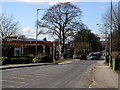
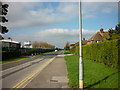
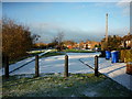
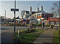
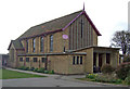
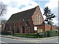
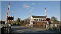
83 photos from this area
Area Information
Key information about the HU15 1DL including its size, population, and administrative classification.
- Area Type
- Postcode
- Area Size
- 8028 m²
- Population
- 1565
- Population Density
- 2889 people/km²
House Prices in HU15 1DL
10
Properties
£283,000
Average Sold Price
£96,000
Lowest Price
£477,000
Highest Price
Showing 10 properties
| Address | Type | Beds | Baths | Last Sale Price | Last Sale Date | |
|---|---|---|---|---|---|---|
| 58 Welton Road, Brough, HU15 1DL | Flat | 1 | 1 | £96,000 | Apr 2025 | |
| 38 Welton Road, Brough, HU15 1DL | house | - | - | £477,000 | Nov 2019 | |
| 48 Welton Road, Brough, HU15 1DL | house | 3 | - | £225,000 | Sep 2017 | |
| The Squirrels, 56A Welton Road, Brough, HU15 1DL | house | - | - | £197,000 | Jun 2016 | |
| Daisy Lawn, 56 Welton Road, Brough, HU15 1DL | house | 5 | - | £420,000 | Mar 2011 | |
| 46 Welton Road, Brough, HU15 1DL | Semi-detached | 3 | 2 | - | - | |
| Brough Cottage, 58B Welton Road, Brough, HU15 1DL | Cottage | 2 | 1 | - | - | |
| 50 Welton Road, Brough, HU15 1DL | house | - | - | - | - | |
| 58A Welton Road, Brough, HU15 1DL | Flat | - | - | - | - | |
| All Saints Churchyard, Welton Road, Brough, HU15 1DL | commercial | - | - | - | - |
Energy Efficiency in HU15 1DL
Amenities
Schools
| Rank | School | Type | Entry gender | Ages |
|---|
Explore more schools in this area
Go to Schools tabDemographics
Household Size
Two person
most common
Accommodation Type
Houses
most common
Tenure
91
majority
Ethnic Group
White
most common
Religion
N/A
most common
Household Composition
N/A
most common
Age
47
median
Adults (30-64 years)
most common
Household Deprivation
N/A
with no deprivation
NS-SEC
46
in Lower managerial occupations
Explore more demographic insights in this area
Go to Demographics tabPlanning
Planning Constraints
- Flood RiskPremium
- Ramsar Wetland SitesPremium
- Area of Outstanding Natural BeautyPremium
- Protected Nature ReservePremium
- Protected WoodlandPremium