Area Overview for HU13 9DG
Photos of HU13 9DG
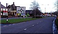
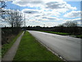
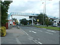
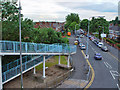
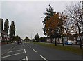
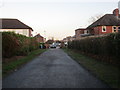
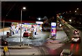
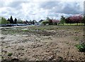
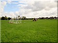
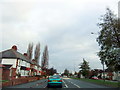
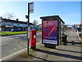
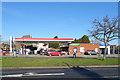
39 photos from this area
Area Information
Key information about the HU13 9DG including its size, population, and administrative classification.
- Area Type
- Postcode
- Area Size
- 6803 m²
- Population
- 1437
- Population Density
- 4984 people/km²
House Prices in HU13 9DG
35
Properties
£91,563
Average Sold Price
£23,500
Lowest Price
£137,500
Highest Price
Showing 35 properties
| Address | Type | Beds | Baths | Last Sale Price | Last Sale Date | |
|---|---|---|---|---|---|---|
| 67 Bedford Road, Hessle, HU13 9DG | house | - | - | £137,500 | Jul 2022 | |
| 37 Bedford Road, Hessle, HU13 9DG | house | 2 | - | £137,500 | Oct 2021 | |
| 33 Bedford Road, Hessle, HU13 9DG | Terraced | 2 | 1 | £129,000 | Sep 2021 | |
| 49 Bedford Road, Hessle, HU13 9DG | house | - | - | £128,000 | Sep 2021 | |
| 69 Bedford Road, Hessle, HU13 9DG | house | 2 | - | £117,000 | Sep 2020 | |
| 43 Bedford Road, Hessle, HU13 9DG | Terraced | 2 | 1 | £123,750 | Feb 2019 | |
| 65 Bedford Road, Hessle, HU13 9DG | house | 3 | 1 | £123,500 | Nov 2018 | |
| 55 Bedford Road, Hessle, HU13 9DG | Terraced | 2 | 1 | £86,000 | Jul 2018 | |
| 27 Bedford Road, Hessle, HU13 9DG | house | 2 | - | £112,500 | Jun 2017 | |
| 79 Bedford Road, Hessle, HU13 9DG | Terraced | 3 | 1 | £93,000 | Sep 2016 |
Page 1 of 4
Energy Efficiency in HU13 9DG
Amenities
Schools
| Rank | School | Type | Entry gender | Ages |
|---|
Explore more schools in this area
Go to Schools tabDemographics
Household Size
Two person
most common
Accommodation Type
Houses
most common
Tenure
72
majority
Ethnic Group
White
most common
Religion
N/A
most common
Household Composition
N/A
most common
Age
47
median
Adults (30-64 years)
most common
Household Deprivation
N/A
with no deprivation
NS-SEC
30
in Lower managerial occupations
Explore more demographic insights in this area
Go to Demographics tabPlanning
Planning Constraints
- Flood RiskPremium
- Ramsar Wetland SitesPremium
- Area of Outstanding Natural BeautyPremium
- Protected Nature ReservePremium
- Protected WoodlandPremium