Area Overview for HU13 0ET
Photos of HU13 0ET

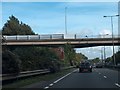
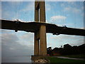
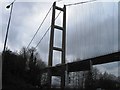
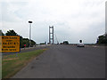
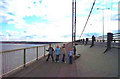
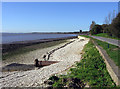
100 photos from this area
Area Information
Key information about the HU13 0ET including its size, population, and administrative classification.
- Area Type
- Postcode
- Area Size
- 2.0 hectares
- Population
- 1966
- Population Density
- 1016 people/km²
House Prices in HU13 0ET
22
Properties
£435,861
Average Sold Price
£165,000
Lowest Price
£610,000
Highest Price
Showing 22 properties
| Address | Type | Beds | Baths | Last Sale Price | Last Sale Date | |
|---|---|---|---|---|---|---|
| 105 Southfield, Hessle, HU13 0ET | Retail | 5 | 1 | £610,000 | Apr 2022 | |
| 99 Southfield, Hessle, HU13 0ET | house | - | - | £540,000 | Dec 2020 | |
| 101 Southfield, Hessle, HU13 0ET | Semi-detached | 6 | 2 | £595,000 | Dec 2020 | |
| 97 Southfield, Hessle, HU13 0ET | house | - | - | £499,550 | Sep 2020 | |
| 91 Southfield, Hessle, HU13 0ET | Semi-detached | 5 | 3 | £517,500 | Oct 2017 | |
| 107A Southfield, Hessle, HU13 0ET | house | 3 | - | £337,500 | Apr 2017 | |
| 89 Southfield, Hessle, HU13 0ET | Semi-detached | 4 | 3 | £477,500 | Sep 2016 | |
| 111 Southfield, Hessle, HU13 0ET | Bungalow | 3 | 2 | £360,000 | Mar 2016 | |
| 93 Southfield, Hessle, HU13 0ET | house | - | - | £470,000 | Nov 2015 | |
| 109 Southfield, Hessle, HU13 0ET | Detached | 4 | - | £390,000 | Jun 2015 |
Page 1 of 3
Energy Efficiency in HU13 0ET
Amenities
Schools
| Rank | School | Type | Entry gender | Ages |
|---|
Explore more schools in this area
Go to Schools tabDemographics
Household Size
Two person
most common
Accommodation Type
Houses
most common
Tenure
84
majority
Ethnic Group
White
most common
Religion
N/A
most common
Household Composition
N/A
most common
Age
47
median
Adults (30-64 years)
most common
Household Deprivation
N/A
with no deprivation
NS-SEC
46
in Lower managerial occupations
Explore more demographic insights in this area
Go to Demographics tabPlanning
Planning Constraints
- Flood RiskPremium
- Ramsar Wetland SitesPremium
- Area of Outstanding Natural BeautyPremium
- Protected Nature ReservePremium
- Protected WoodlandPremium