Area Overview for HU12 9RB
Photos of HU12 9RB
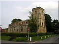
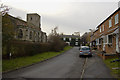
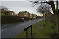
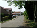
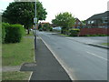
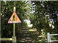
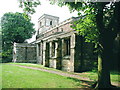
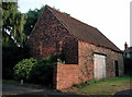
72 photos from this area
Area Information
Key information about the HU12 9RB including its size, population, and administrative classification.
- Area Type
- Postcode
- Area Size
- 3501 m²
- Population
- 1713
- Population Density
- 688 people/km²
House Prices in HU12 9RB
7
Properties
£200,250
Average Sold Price
£135,000
Lowest Price
£240,000
Highest Price
Showing 7 properties
| Address | Type | Beds | Baths | Last Sale Price | Last Sale Date | |
|---|---|---|---|---|---|---|
| Glaisdale, Ings Lane, Keyingham, HU12 9RB | Bungalow | 3 | 2 | £206,000 | May 2024 | |
| South View, Ings Lane, Keyingham, HU12 9RB | Detached | 3 | 1 | £220,000 | Nov 2018 | |
| Vintage Lodge, Ings Lane, Keyingham, HU12 9RB | Detached | 5 | 2 | £240,000 | Mar 2013 | |
| The Spinney, Ings Lane, Keyingham, HU12 9RB | Detached | 3 | - | £135,000 | May 2010 | |
| 1-1, The Keys, Ings Lane, Keyingham, HU12 9RB | Terraced | - | - | - | - | |
| St Nicholas Church Room, Ings Lane, Keyingham, HU12 9RB | Detached | - | - | - | - | |
| Keys House, Ings Lane, Keyingham, HU12 9RB | Bungalow | - | - | - | - |
Energy Efficiency in HU12 9RB
Amenities
Schools
| Rank | School | Type | Entry gender | Ages |
|---|
Explore more schools in this area
Go to Schools tabDemographics
Household Size
Two person
most common
Accommodation Type
Houses
most common
Tenure
78
majority
Ethnic Group
White
most common
Religion
N/A
most common
Household Composition
N/A
most common
Age
47
median
Adults (30-64 years)
most common
Household Deprivation
N/A
with no deprivation
NS-SEC
28
in Lower managerial occupations
Explore more demographic insights in this area
Go to Demographics tabPlanning
Planning Constraints
- Flood RiskPremium
- Ramsar Wetland SitesPremium
- Area of Outstanding Natural BeautyPremium
- Protected Nature ReservePremium
- Protected WoodlandPremium