Area Overview for HU12 8DX
Photos of HU12 8DX

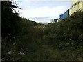
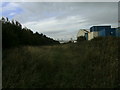

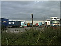

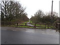
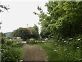
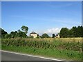
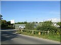
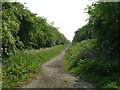
42 photos from this area
Area Information
Key information about the HU12 8DX including its size, population, and administrative classification.
- Area Type
- Postcode
- Area Size
- 87.2 hectares
- Population
- 1812
- Population Density
- 272 people/km²
House Prices in HU12 8DX
14
Properties
£300,000
Average Sold Price
£300,000
Lowest Price
£300,000
Highest Price
Showing 14 properties
| Address | Type | Beds | Baths | Last Sale Price | Last Sale Date | |
|---|---|---|---|---|---|---|
| The Limes, Staithes Road, Preston, HU12 8DX | Detached | - | - | £300,000 | Apr 2009 | |
| The Flat, Saltend Social Club, Hull Road, Hedon, HU12 8DX | Flat | - | - | - | - | |
| Lime Cottage, Staithes Road, Preston, HU12 8DX | Detached | - | - | - | - | |
| Gas Valve Compound, Paull Road, Saltend, HU12 8DX | Industrial | - | - | - | - | |
| C G Power Solutions Uk Limited, Staithes Road, Preston, HU12 8DX | Office | - | - | - | - | |
| Pinefleet Limited, Unit A, Holderness House, Staithes Road, Preston, HU12 8DX | Office | - | - | - | - | |
| First Floor, Holderness House, Staithes Road, Preston, HU12 8DX | Office | - | - | - | - | |
| N W Trading (humber) Limited, Staithes Road, Preston, HU12 8DX | warehouse | - | - | - | - | |
| The Best Solutions Hull Ltd, Units B, Holderness House, Staithes Road, Preston, HU12 8DX | Office | - | - | - | - | |
| The Best Solutions Hull Ltd, Unit C, Holderness House, Staithes Road, Preston, HU12 8DX | office_workshop | - | - | - | - |
Page 1 of 2
Energy Efficiency in HU12 8DX
Amenities
Schools
| Rank | School | Type | Entry gender | Ages |
|---|
Explore more schools in this area
Go to Schools tabDemographics
Household Size
Family (3-5 people)
most common
Accommodation Type
Houses
most common
Tenure
77
majority
Ethnic Group
White
most common
Religion
N/A
most common
Household Composition
N/A
most common
Age
47
median
Adults (30-64 years)
most common
Household Deprivation
N/A
with no deprivation
NS-SEC
30
in Lower managerial occupations
Explore more demographic insights in this area
Go to Demographics tabPlanning
Planning Constraints
- Flood RiskPremium
- Ramsar Wetland SitesPremium
- Area of Outstanding Natural BeautyPremium
- Protected Nature ReservePremium
- Protected WoodlandPremium