Area Overview for HU12 8DF
Photos of HU12 8DF
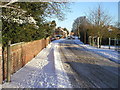
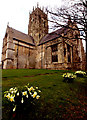

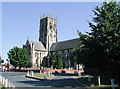
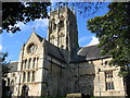
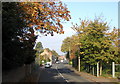
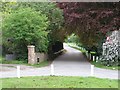
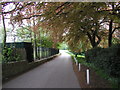
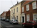
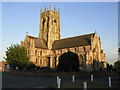
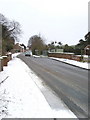
100 photos from this area
Area Information
Key information about the HU12 8DF including its size, population, and administrative classification.
- Area Type
- Postcode
- Area Size
- 1.2 hectares
- Population
- 1812
- Population Density
- 272 people/km²
House Prices in HU12 8DF
38
Properties
£102,680
Average Sold Price
£19,000
Lowest Price
£155,000
Highest Price
Showing 38 properties
| Address | Type | Beds | Baths | Last Sale Price | Last Sale Date | |
|---|---|---|---|---|---|---|
| 68 Hull Road, Hedon, HU12 8DF | Terraced | 2 | 1 | £145,000 | Sep 2025 | |
| 22 Hull Road, Hedon, HU12 8DF | Terraced | 3 | 1 | £155,000 | Jul 2025 | |
| 50 Hull Road, Hedon, HU12 8DF | Terraced | 3 | 1 | £140,000 | Apr 2025 | |
| 24 Hull Road, Hedon, HU12 8DF | Terraced | 3 | 1 | £126,000 | Apr 2025 | |
| 36 Hull Road, Hedon, HU12 8DF | Terraced | 3 | 1 | £125,000 | Dec 2024 | |
| 66 Hull Road, Hedon, HU12 8DF | Terraced | 2 | 1 | £141,750 | Mar 2022 | |
| 18 Hull Road, Hedon, HU12 8DF | house | - | - | £105,000 | Nov 2021 | |
| 34 Hull Road, Hedon, HU12 8DF | Terraced | 3 | 1 | £153,500 | Jul 2021 | |
| 38 Hull Road, Hedon, HU12 8DF | Terraced | 3 | 1 | £112,500 | Mar 2021 | |
| 4 Hull Road, Hedon, HU12 8DF | Terraced | 3 | 1 | £134,950 | Mar 2020 |
Page 1 of 4
Energy Efficiency in HU12 8DF
Amenities
Schools
| Rank | School | Type | Entry gender | Ages |
|---|
Explore more schools in this area
Go to Schools tabDemographics
Household Size
Family (3-5 people)
most common
Accommodation Type
Houses
most common
Tenure
77
majority
Ethnic Group
White
most common
Religion
N/A
most common
Household Composition
N/A
most common
Age
47
median
Adults (30-64 years)
most common
Household Deprivation
N/A
with no deprivation
NS-SEC
30
in Lower managerial occupations
Explore more demographic insights in this area
Go to Demographics tabPlanning
Planning Constraints
- Flood RiskPremium
- Ramsar Wetland SitesPremium
- Area of Outstanding Natural BeautyPremium
- Protected Nature ReservePremium
- Protected WoodlandPremium