Area Overview for HU12 0ND
Photos of HU12 0ND
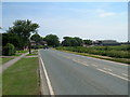
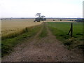
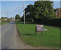
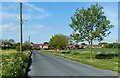
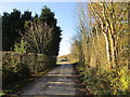
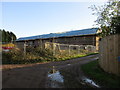
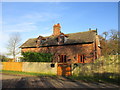
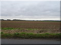
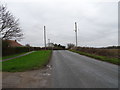
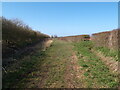
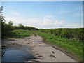
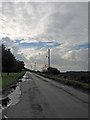
18 photos from this area
Area Information
Key information about the HU12 0ND including its size, population, and administrative classification.
- Area Type
- Postcode
- Area Size
- 54.8 hectares
- Population
- 1583
- Population Density
- 58 people/km²
House Prices in HU12 0ND
22
Properties
£95,854
Average Sold Price
£15,000
Lowest Price
£195,000
Highest Price
Showing 22 properties
| Address | Type | Beds | Baths | Last Sale Price | Last Sale Date | |
|---|---|---|---|---|---|---|
| 16 Ings Lane, Patrington, HU12 0ND | Terraced | 2 | 1 | £123,000 | Oct 2025 | |
| Cobweb Cottage, 2 Ings Lane, Patrington, HU12 0ND | Terraced | 3 | 2 | £195,000 | Jan 2023 | |
| 5 Ings Lane, Patrington, HU12 0ND | house | - | - | £125,000 | Nov 2022 | |
| 15 Ings Lane, Patrington, HU12 0ND | Terraced | 2 | 1 | £110,000 | Sep 2022 | |
| 6 Ings Lane, Patrington, HU12 0ND | house | - | - | £87,000 | Mar 2021 | |
| 10 Ings Lane, Patrington, HU12 0ND | Terraced | 2 | 2 | £95,000 | Jul 2019 | |
| 19 Ings Lane, Patrington, HU12 0ND | Terraced | 3 | 1 | £90,000 | Sep 2015 | |
| 11 Ings Lane, Patrington, HU12 0ND | house | - | - | £66,500 | Jan 2014 | |
| 9 Ings Lane, Patrington, HU12 0ND | house | 2 | 2 | £61,000 | Dec 2013 | |
| 17 Ings Lane, Patrington, HU12 0ND | house | 3 | - | £110,000 | May 2008 |
Page 1 of 3
Energy Efficiency in HU12 0ND
Amenities
Schools
| Rank | School | Type | Entry gender | Ages |
|---|
Explore more schools in this area
Go to Schools tabDemographics
Household Size
Two person
most common
Accommodation Type
Houses
most common
Tenure
83
majority
Ethnic Group
White
most common
Religion
N/A
most common
Household Composition
N/A
most common
Age
47
median
Adults (30-64 years)
most common
Household Deprivation
N/A
with no deprivation
NS-SEC
28
in Lower managerial occupations
Explore more demographic insights in this area
Go to Demographics tabPlanning
Planning Constraints
- Flood RiskPremium
- Ramsar Wetland SitesPremium
- Area of Outstanding Natural BeautyPremium
- Protected Nature ReservePremium
- Protected WoodlandPremium