Area Overview for HU11 4UL
Photos of HU11 4UL
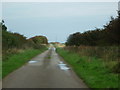
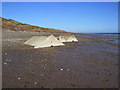
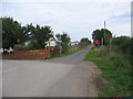
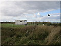
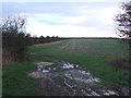
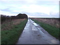
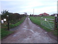
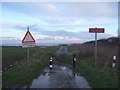
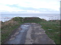
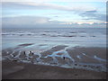
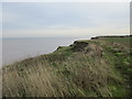
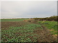
32 photos from this area
Area Information
Key information about the HU11 4UL including its size, population, and administrative classification.
- Area Type
- Postcode
- Area Size
- 30.6 hectares
- Population
- 1722
- Population Density
- 123 people/km²
House Prices in HU11 4UL
52
Properties
£59,525
Average Sold Price
£13,100
Lowest Price
£140,000
Highest Price
Showing 52 properties
| Address | Type | Beds | Baths | Last Sale Price | Last Sale Date | |
|---|---|---|---|---|---|---|
| Sunnydene, Eelmere Lane, Cowden, HU11 4UL | Mobile Home | 2 | 1 | £140,000 | Jun 2025 | |
| Eelsmere Lodge, Eelmere Lane, Cowden, HU11 4UL | Bungalow | 3 | 2 | £40,000 | Jan 2004 | |
| Gowan Lea, 1 Eelmere Lane, Cowden, HU11 4UL | Detached | - | - | £13,100 | Jun 2000 | |
| South View, Eelmere Lane, Cowden, HU11 4UL | Detached | - | - | £45,000 | Jun 1997 | |
| Thelma Cottage, 7 Eelmere Lane, Cowden, HU11 4UL | house | 3 | - | - | - | |
| Le Chalet, 4 Eelmere Lane, Cowden, HU11 4UL | Bungalow | 3 | - | - | - | |
| Olcote, 3 Eelmere Lane, Cowden, HU11 4UL | Bungalow | 2 | - | - | - | |
| Unit 2, Cowden Holiday Park, Main Road, Cowden, HU11 4UL | Mobile Home | - | - | - | - | |
| Caravan 2, Grange Farm, Eelmere Lane, Cowden, HU11 4UL | Mobile Home | - | - | - | - | |
| 10 Blueberry Lane, Key Gardens At Cowden Holiday Park, Main Road, Cowden, HU11 4UL | Mobile Home | - | - | - | - |
Page 1 of 6
Energy Efficiency in HU11 4UL
Amenities
Schools
| Rank | School | Type | Entry gender | Ages |
|---|
Explore more schools in this area
Go to Schools tabDemographics
Household Size
Two person
most common
Accommodation Type
Houses
most common
Tenure
85
majority
Ethnic Group
White
most common
Religion
N/A
most common
Household Composition
N/A
most common
Age
47
median
Adults (30-64 years)
most common
Household Deprivation
N/A
with no deprivation
NS-SEC
30
in Lower managerial occupations
Explore more demographic insights in this area
Go to Demographics tabPlanning
Planning Constraints
- Flood RiskPremium
- Ramsar Wetland SitesPremium
- Area of Outstanding Natural BeautyPremium
- Protected Nature ReservePremium
- Protected WoodlandPremium