Area Overview for HU10 7SA
Photos of HU10 7SA
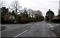
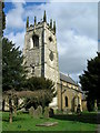
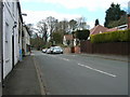
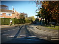
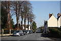
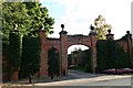
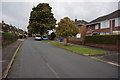
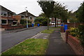
41 photos from this area
Area Information
Key information about the HU10 7SA including its size, population, and administrative classification.
- Area Type
- Postcode
- Area Size
- 1.9 hectares
- Population
- 1483
- Population Density
- 459 people/km²
House Prices in HU10 7SA
20
Properties
£319,262
Average Sold Price
£120,000
Lowest Price
£640,000
Highest Price
Showing 20 properties
| Address | Type | Beds | Baths | Last Sale Price | Last Sale Date | |
|---|---|---|---|---|---|---|
| 21 The Fairway, West Ella, HU10 7SA | house | 4 | 2 | £640,000 | Aug 2025 | |
| 17 The Fairway, West Ella, HU10 7SA | Detached | 5 | 2 | £545,000 | Apr 2025 | |
| 9 The Fairway, West Ella, HU10 7SA | Detached | 3 | 2 | £485,000 | Jan 2022 | |
| 25 The Fairway, West Ella, HU10 7SA | Bungalow | - | - | £305,000 | Jun 2013 | |
| 33 The Fairway, West Ella, HU10 7SA | house | 6 | - | £395,450 | Jun 2013 | |
| 31 The Fairway, West Ella, HU10 7SA | Bungalow | 4 | - | £305,000 | Apr 2013 | |
| Westview, 15 The Fairway, West Ella, HU10 7SA | house | - | - | £480,000 | Dec 2010 | |
| 23 The Fairway, West Ella, HU10 7SA | Bungalow | - | - | £330,000 | Jun 2010 | |
| 3 The Fairway, West Ella, HU10 7SA | Detached | - | - | £410,000 | Aug 2009 | |
| 37 The Fairway, West Ella, HU10 7SA | Detached | 5 | 2 | £430,000 | May 2008 |
Page 1 of 2
Energy Efficiency in HU10 7SA
Amenities
Schools
| Rank | School | Type | Entry gender | Ages |
|---|
Explore more schools in this area
Go to Schools tabDemographics
Household Size
Two person
most common
Accommodation Type
Houses
most common
Tenure
95
majority
Ethnic Group
White
most common
Religion
N/A
most common
Household Composition
N/A
most common
Age
47
median
Adults (30-64 years)
most common
Household Deprivation
N/A
with no deprivation
NS-SEC
47
in Lower managerial occupations
Explore more demographic insights in this area
Go to Demographics tabPlanning
Planning Constraints
- Flood RiskPremium
- Ramsar Wetland SitesPremium
- Area of Outstanding Natural BeautyPremium
- Protected Nature ReservePremium
- Protected WoodlandPremium