Area Overview for HU10 7QZ
Photos of HU10 7QZ
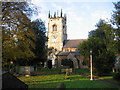
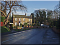
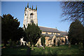
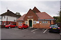
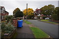
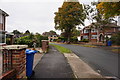
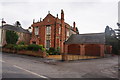
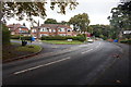
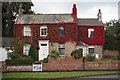
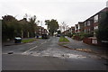
63 photos from this area
Area Information
Key information about the HU10 7QZ including its size, population, and administrative classification.
- Area Type
- Postcode
- Area Size
- 4730 m²
- Population
- 1470
- Population Density
- 2819 people/km²
House Prices in HU10 7QZ
10
Properties
£207,814
Average Sold Price
£85,950
Lowest Price
£290,000
Highest Price
Showing 10 properties
| Address | Type | Beds | Baths | Last Sale Price | Last Sale Date | |
|---|---|---|---|---|---|---|
| 32 Mill Lane, Kirk Ella, HU10 7QZ | house | 4 | - | £290,000 | Jul 2018 | |
| 21 Mill Lane, Kirk Ella, HU10 7QZ | house | 3 | - | £167,000 | Oct 2013 | |
| 28A Mill Lane, Kirk Ella, HU10 7QZ | Land | 3 | - | £246,750 | Oct 2012 | |
| 31 Mill Lane, Kirk Ella, HU10 7QZ | house | - | - | £250,000 | Aug 2009 | |
| 29 Mill Lane, Kirk Ella, HU10 7QZ | Semi-detached | - | - | £178,000 | May 2006 | |
| 36 Mill Lane, Kirk Ella, HU10 7QZ | Detached | - | - | £237,000 | Aug 2004 | |
| 34 Mill Lane, Kirk Ella, HU10 7QZ | house | - | - | £85,950 | Dec 2000 | |
| 27 Mill Lane, Kirk Ella, HU10 7QZ | house | - | - | - | - | |
| 25 Mill Lane, Kirk Ella, HU10 7QZ | house | - | - | - | - | |
| 23 Mill Lane, Kirk Ella, HU10 7QZ | Semi-detached | - | - | - | - |
Energy Efficiency in HU10 7QZ
Amenities
Schools
| Rank | School | Type | Entry gender | Ages |
|---|
Explore more schools in this area
Go to Schools tabDemographics
Household Size
Two person
most common
Accommodation Type
Houses
most common
Tenure
92
majority
Ethnic Group
White
most common
Religion
N/A
most common
Household Composition
N/A
most common
Age
47
median
Adults (30-64 years)
most common
Household Deprivation
N/A
with no deprivation
NS-SEC
45
in Lower managerial occupations
Explore more demographic insights in this area
Go to Demographics tabPlanning
Planning Constraints
- Flood RiskPremium
- Ramsar Wetland SitesPremium
- Area of Outstanding Natural BeautyPremium
- Protected Nature ReservePremium
- Protected WoodlandPremium